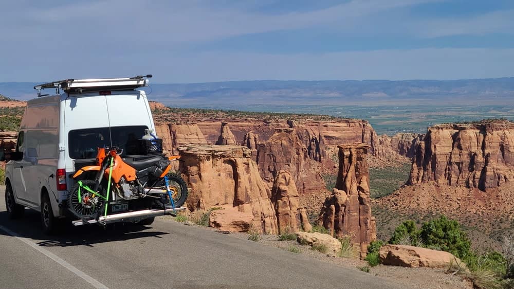

Got a bike, will travel to ride single track trails.
Van life has become very popular way of living on the road in recent years. Many people lug along bicycles, kayaks or whatever their preferred activity may require. For me, it's an enduro motorcycle. I spent last four years traveling around the western USA in search of the best trails to ride.
While looking for the best riding areas I get to visit towns and places I would otherwise never bother with. Many of those places and people I meet there end up being etched in my memory.
I used to consider enduro riding too extreme for me. What can an office rat gain from riding hard dirt trails other than an injury. Well, besides enduro riding being so much fun, it is also a great training for adventure riding in third world countries on heavy, fully loaded, bikes. I found myself in quite a few situations where I wished I had had better enduro skills, simply to get through a rocky river crossing, landslide-blocked road or deserted track covered with deep sand. I've encountered such challenges on roads in India, South America, Central Asia, etc.
Below are photos from some of the rides I did alone or with friends. Most areas are from the SW USA, but I traveled to the NW USA as well, where challenges and the scenery are quite different.
San Juan Mountains are hands-down, the most beautiful part of Colorado Rockies. Ouray, the adventure center of the area, claims to be the "Switzerland of USA." A lot of old mining roads that go to over 13,000 ft are jeeper dream come true. The same goes for adventure motorcycling. Most roads are easy enough for big adventure bikes. But some trails are best done on pure dirt bikes.
Besides the famous Alpine Loop (rough dirt roads between Ouray and Lake City crossing high passes), Imogene, Black Bear and Ophir passes challenge riders and award them with amazing vistas.
There used to be more single track trails, but the government is closing them down and soon, there will be hardly any left.
San Juan Mountains are also the place to visit if one is interested in Colorado's rich mining history. Silverton still looks like an old cowboy town from 100 years ago, together with a steam engine train running to Durango.

Calico single track trail in San Juan mountains of Colorado.

Riding a boulder field on the east side of Stony pass.

Calico trail offers amazing views of San Juan mountains.
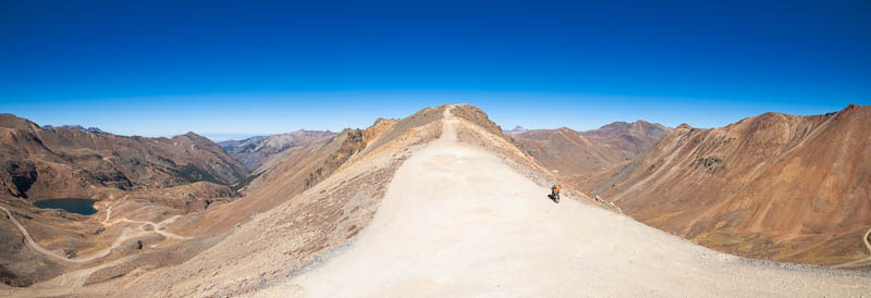
High up in San Juan Mountains in late fall.
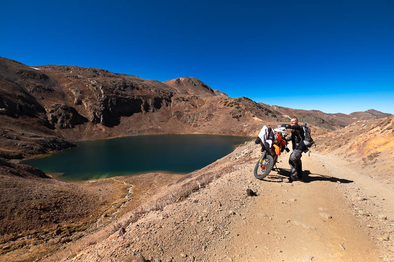
Lake at the top of Poughkeepsie gulch trail.
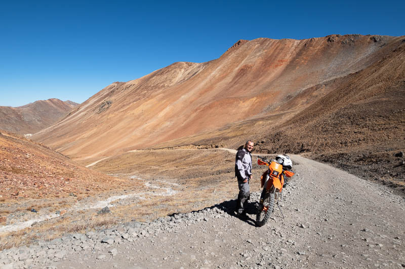
Mineral deposits in San Juan mountains are obvious from vivid red and yellow colors.
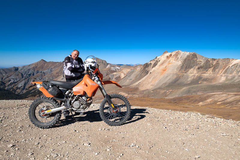
On the way to Engineer pass, Alpine Loop
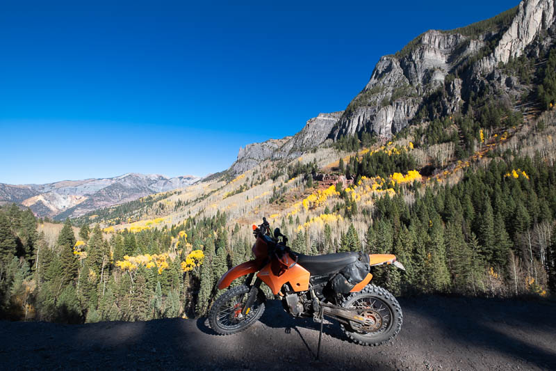
Descending from Imogene pass down to Ouray.
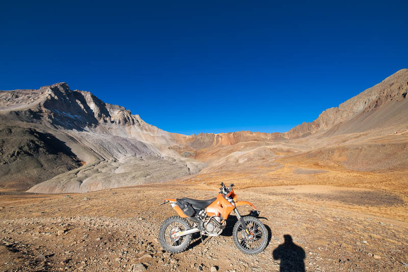
Yankee Basin in late fall.
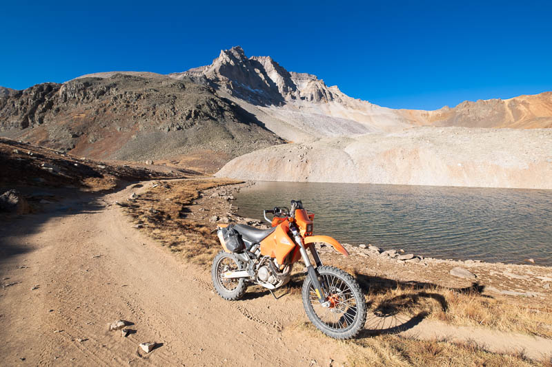
Another high alpine lake outside Ouray.
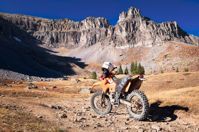
One of many dead-end roads in Yankee basin.
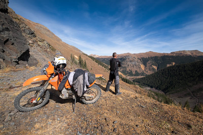
Enjoying the view from an abandoned mine.
Taylor Park surrounding Taylor reservoir sits at over 9000ft and is one of the coldest places I've been to even in mid summer. Rough dirt roads, ATV trails and single tracks crisscross the area. Besides hikers, bikers and motorized users, hunters from all over the US flock to Taylor Park in the fall.
Besides abundance of challenging trails, the biggest attraction for me is dispersed camping opportunities. Every year sites get shut down and I can see it banned completely in not so distant future.
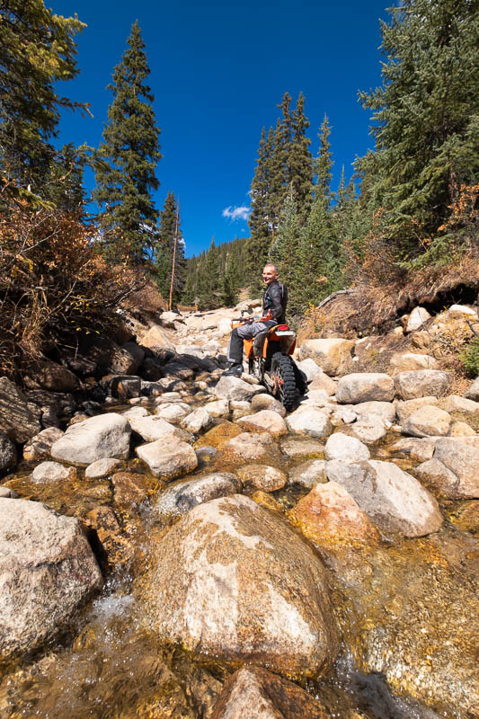
Riding up to Taylor pass.

Lake near the Taylor pass.
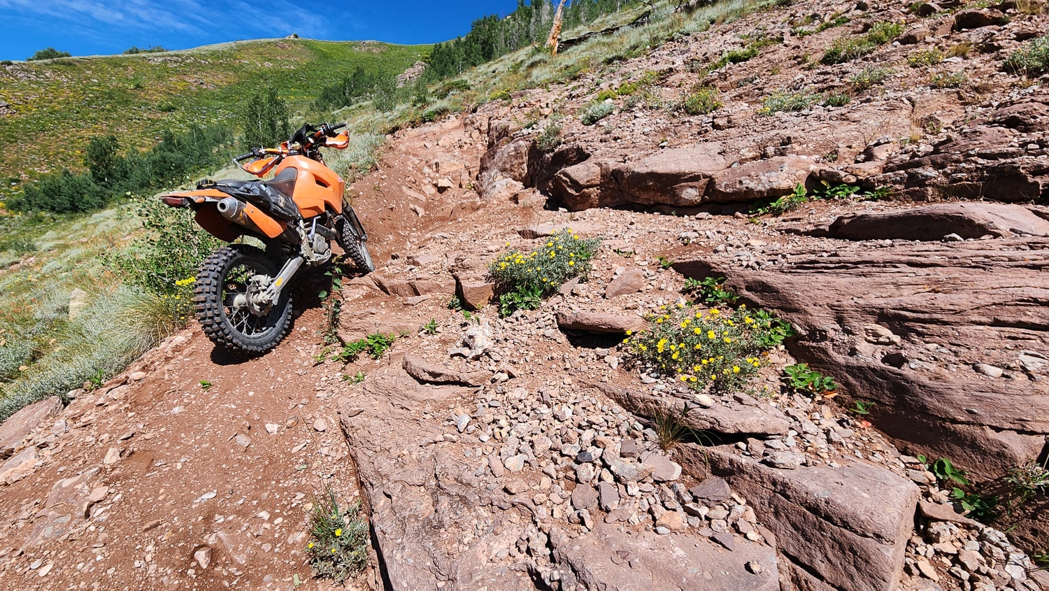
Another challenging trail between Taylor Reservoir and Crested Butte.
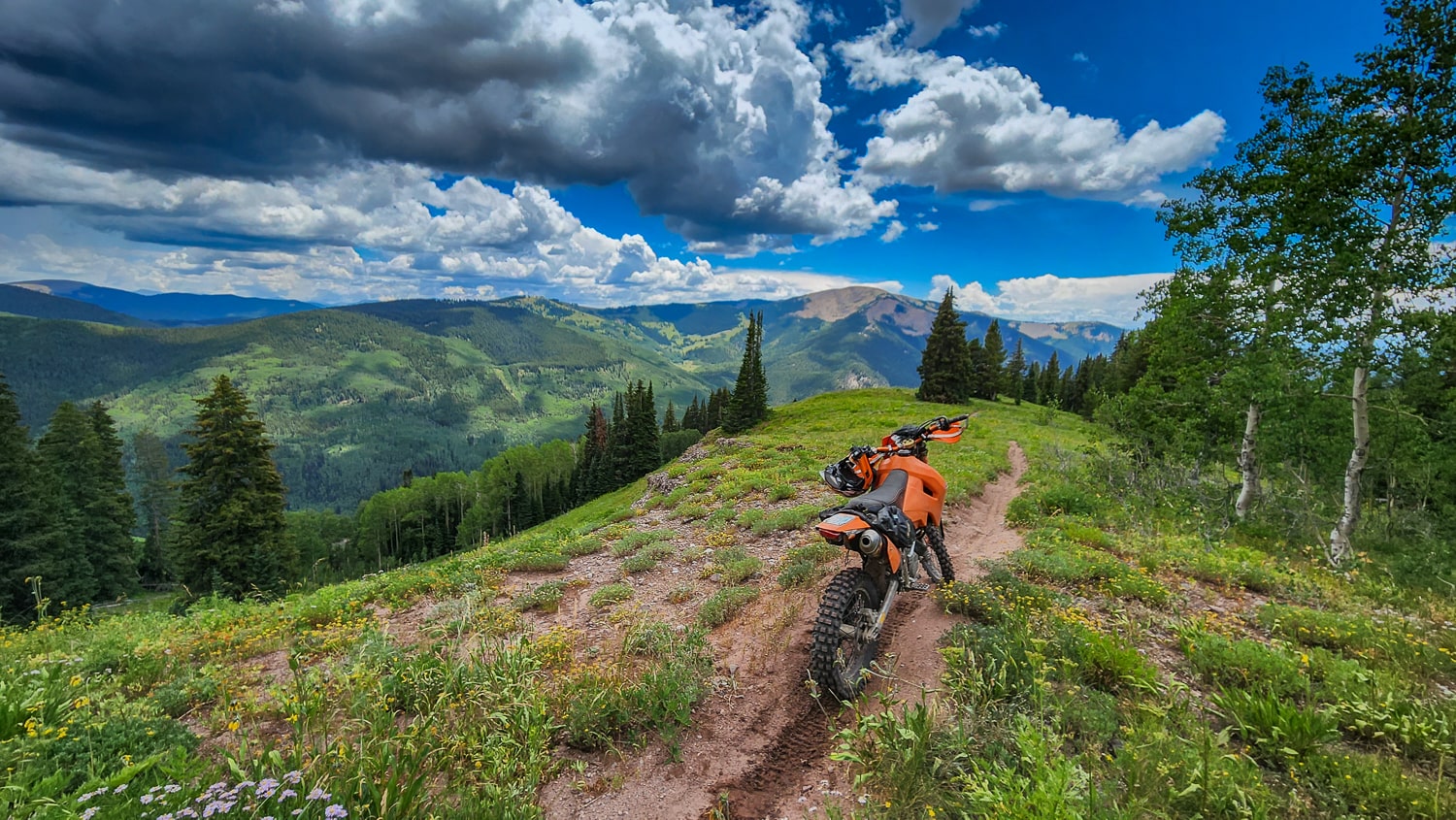
High up in the mountains twoards Taylor Pass.
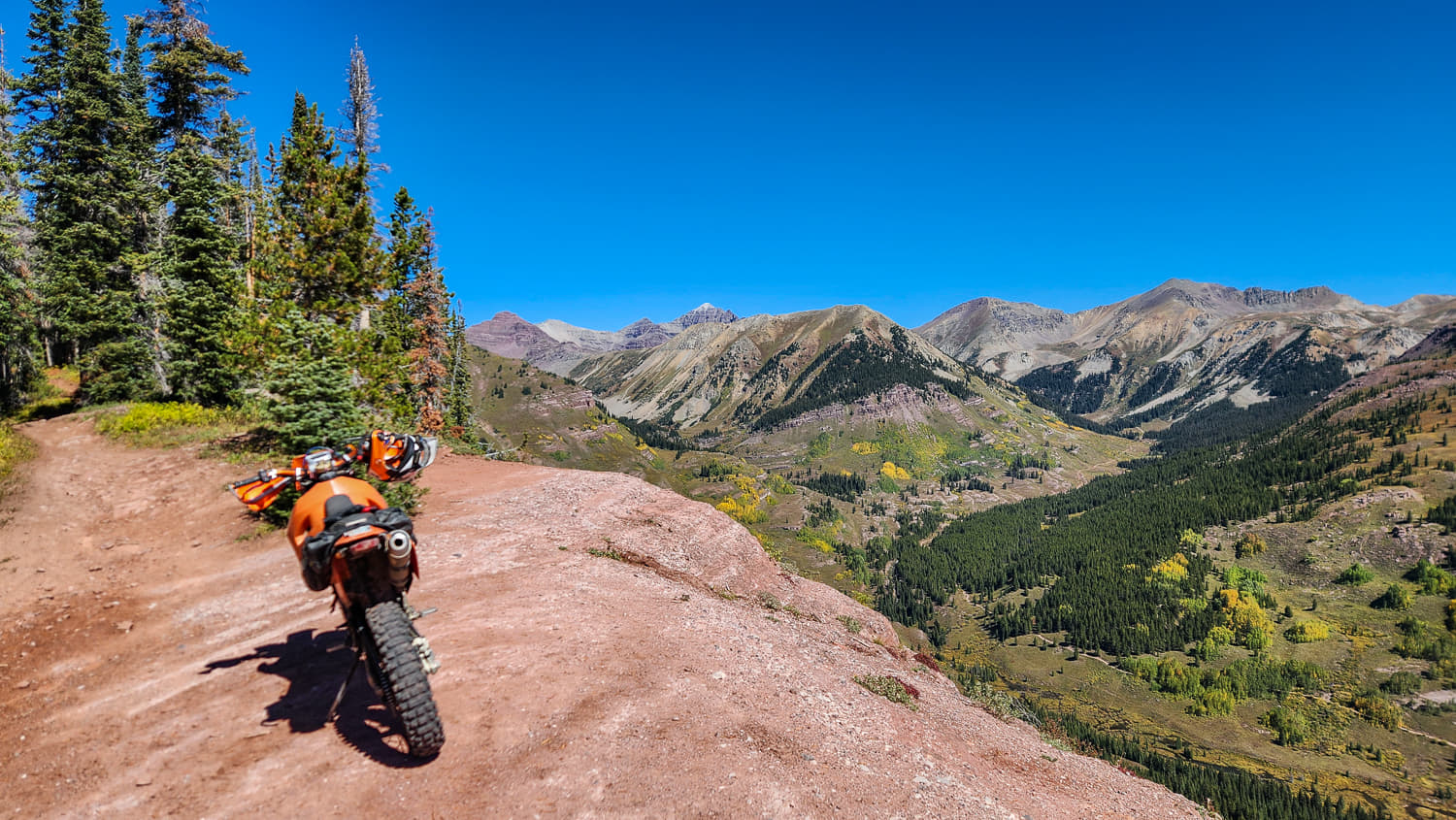
A view from Teocalli trail.
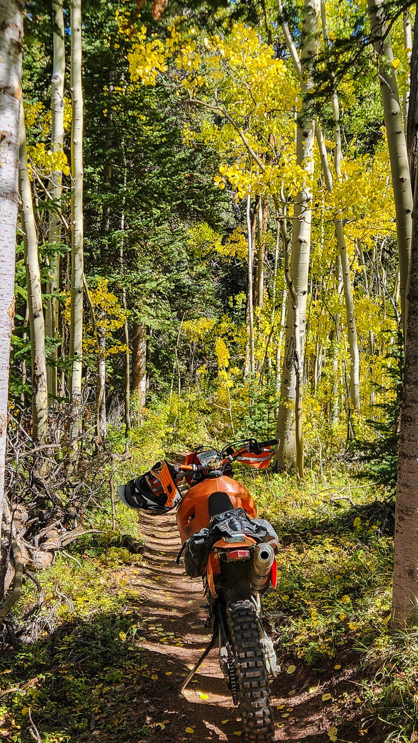
On a trail through aspens in the fall.
A short video of single track rides along and near Continental Divide Trail outside Sargents, Colorado.
Rabbit Valley offers amazing desert riding- Moab quality rides without all the crowds.
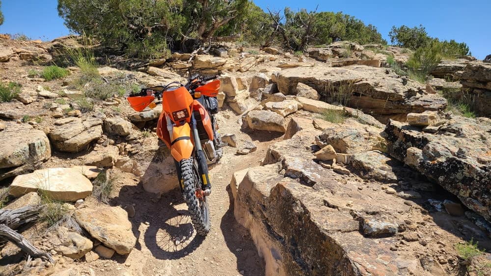
Some challenging rocks to negotiate.
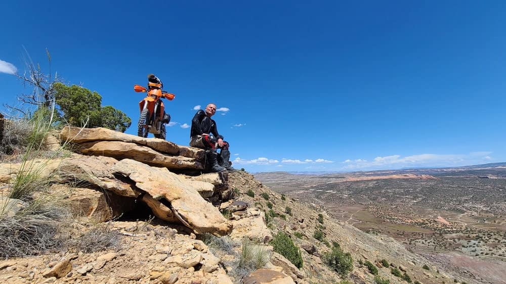
Valley along Colorado river stretches below the trail.
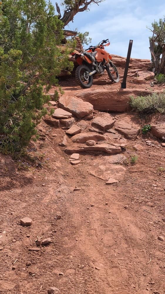
Stacked rocks make climbing easier.
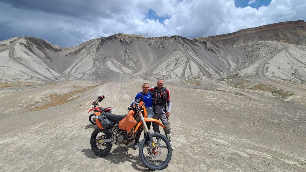
At badlands outside Grand Junction with another friend.
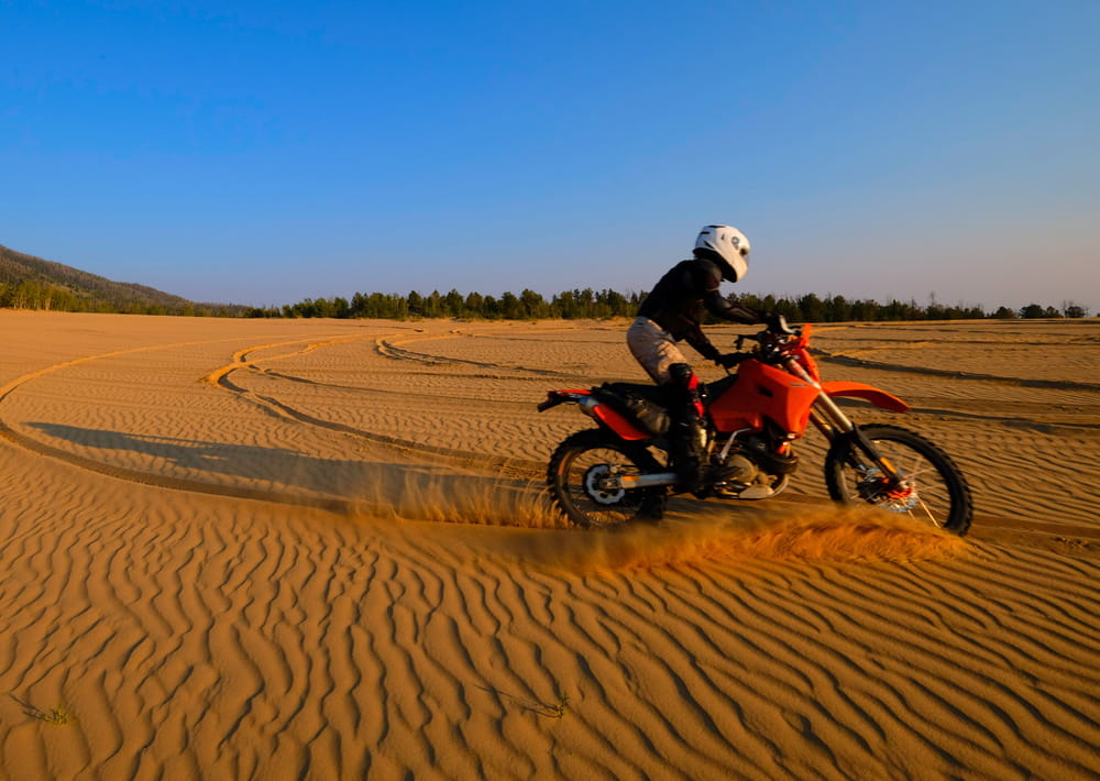
Sunset play on sand dunes in Northern Colorado.
Moab is the undisputed capital of jeeping and adventure riding as well as many other outdoor activities - mountain biking, hiking, rafting, etc.
Over time, more and more trails are being closed for motorized users, many even for bicycles. Many open ones require permits or fees or both. Despite all these problems and crowds, Moab area is an amazing place.
My friends and I rode some classic rides of the area - Ten Mile Wash, Dead Cow canyon, Cow Freckles and some nameless rides. It was a great fun, both riding and just sitting by the fire at night.
Next two photos are from Mike's drone. More of his videos and photos can be found on Mike's website. He did a great job capturing and editing video of our ride too. It can be found here.
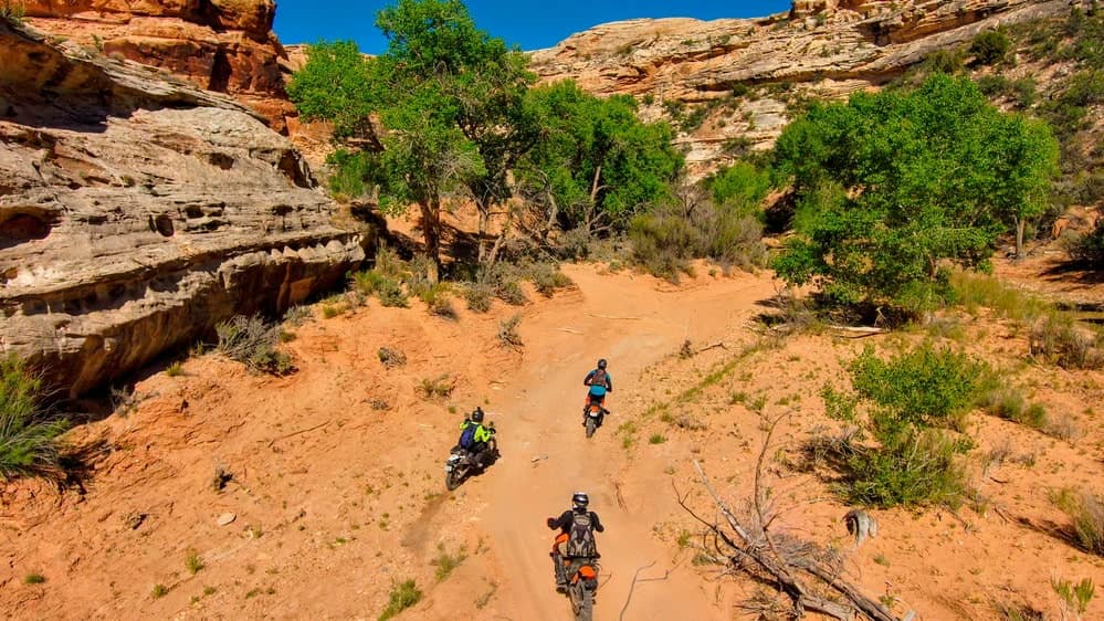
Ten Mile Wash was a sandy fun.
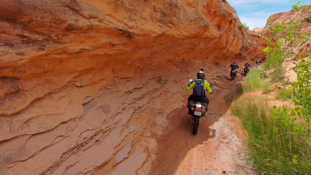
Dead Cow Canyon.
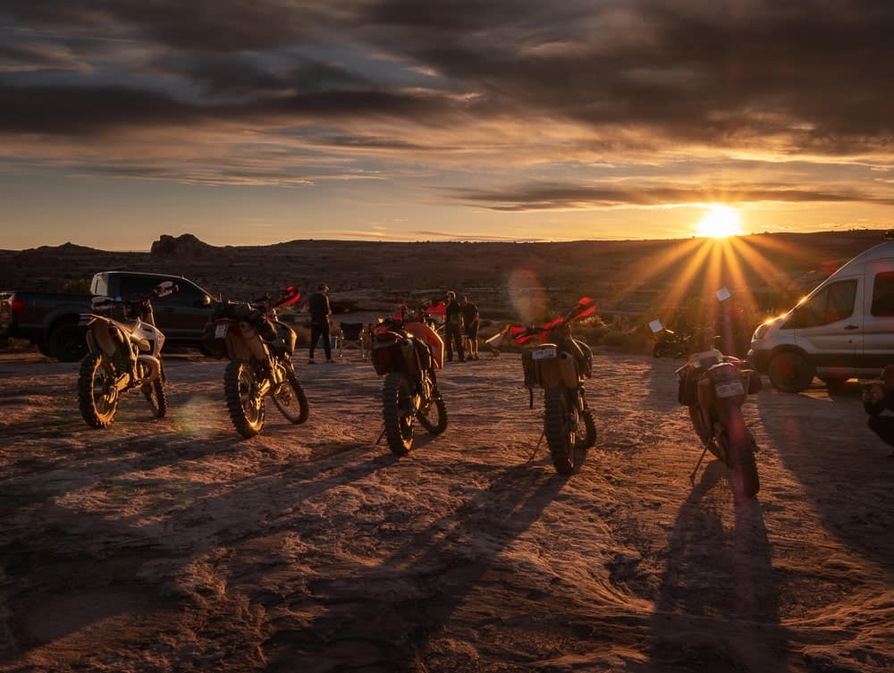
Perfect ending of a perfect day of riding.
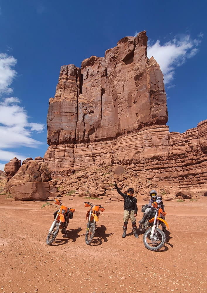
Tombstone Butte, a prominent landmark in this area.
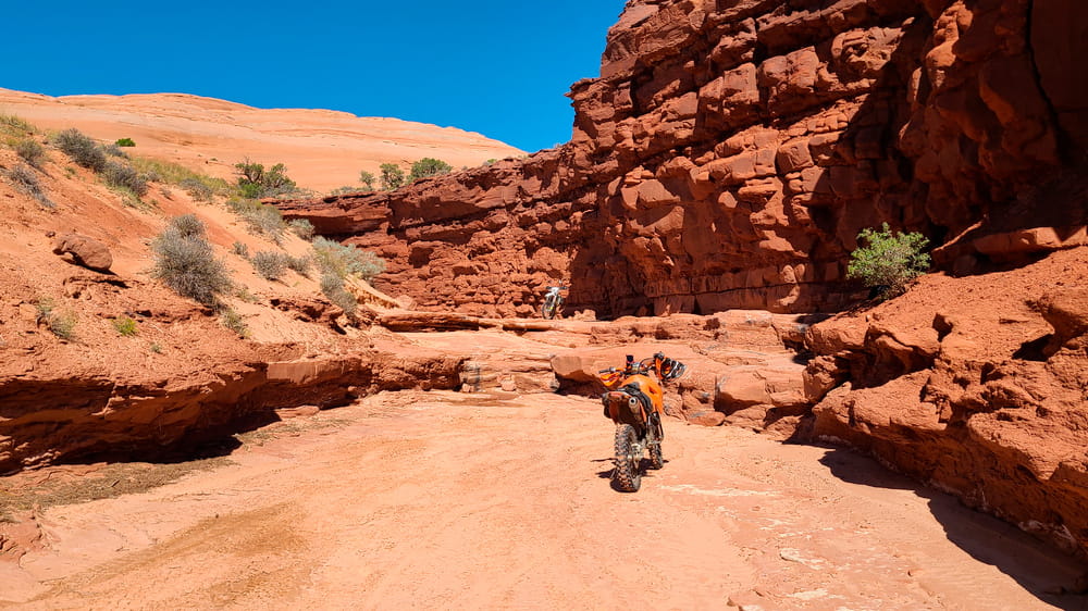
Classic canyon riding.
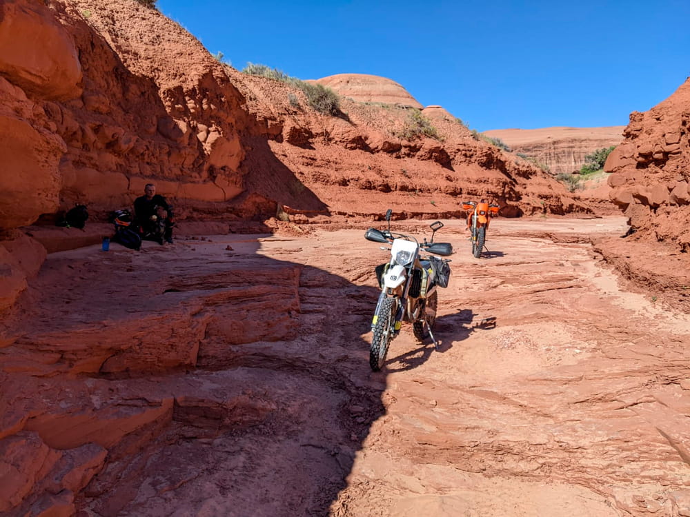
Trying to find some shade for the lunch break.
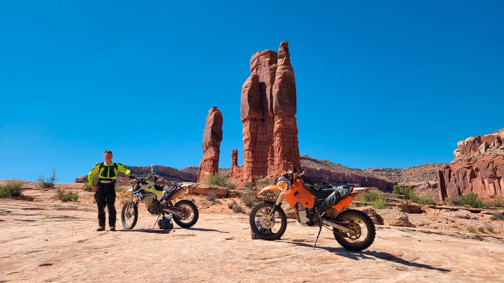
Prominent spires along the seven mile ridge trail.
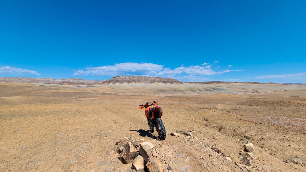
Enduro loop trail.
A of riding in Jeep Safari Area.
Just outside town is Sand Flats area with scenic camping and several trails. That's where Slickrock trail is, one of the most famous mountain biking trails on which, shockingly, motorcycles are allowed. It criss-crosses Hell's Revenge jeep trail in several places. Both are super fun with some scenic view points along the way.
In addition to these two classics, Fins and Things and Porcupine Ridge trails are easy, scenic and less crowded.
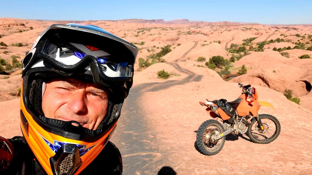
Jeep tire marks on Fins and Things trail.
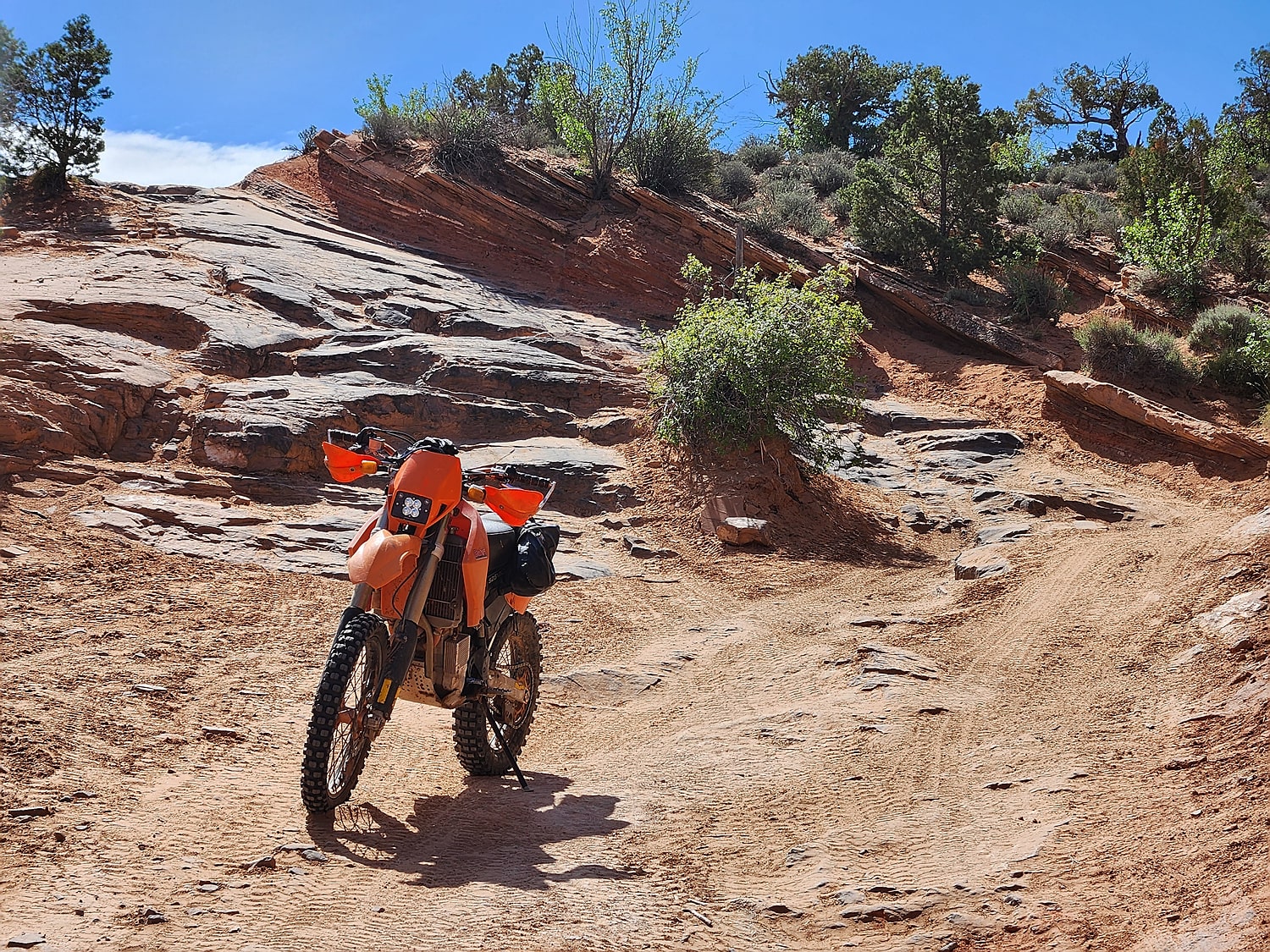
Apart from a few rocky sections, Things and Fins is an easy ride.
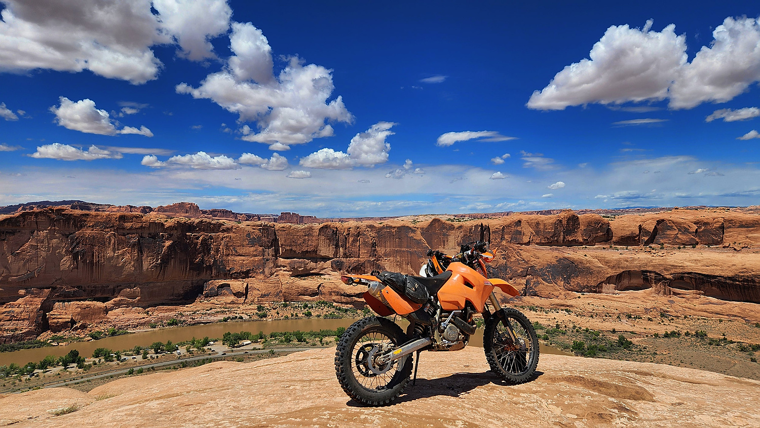
Scenic view of Colorado river from Slickrock Trail.
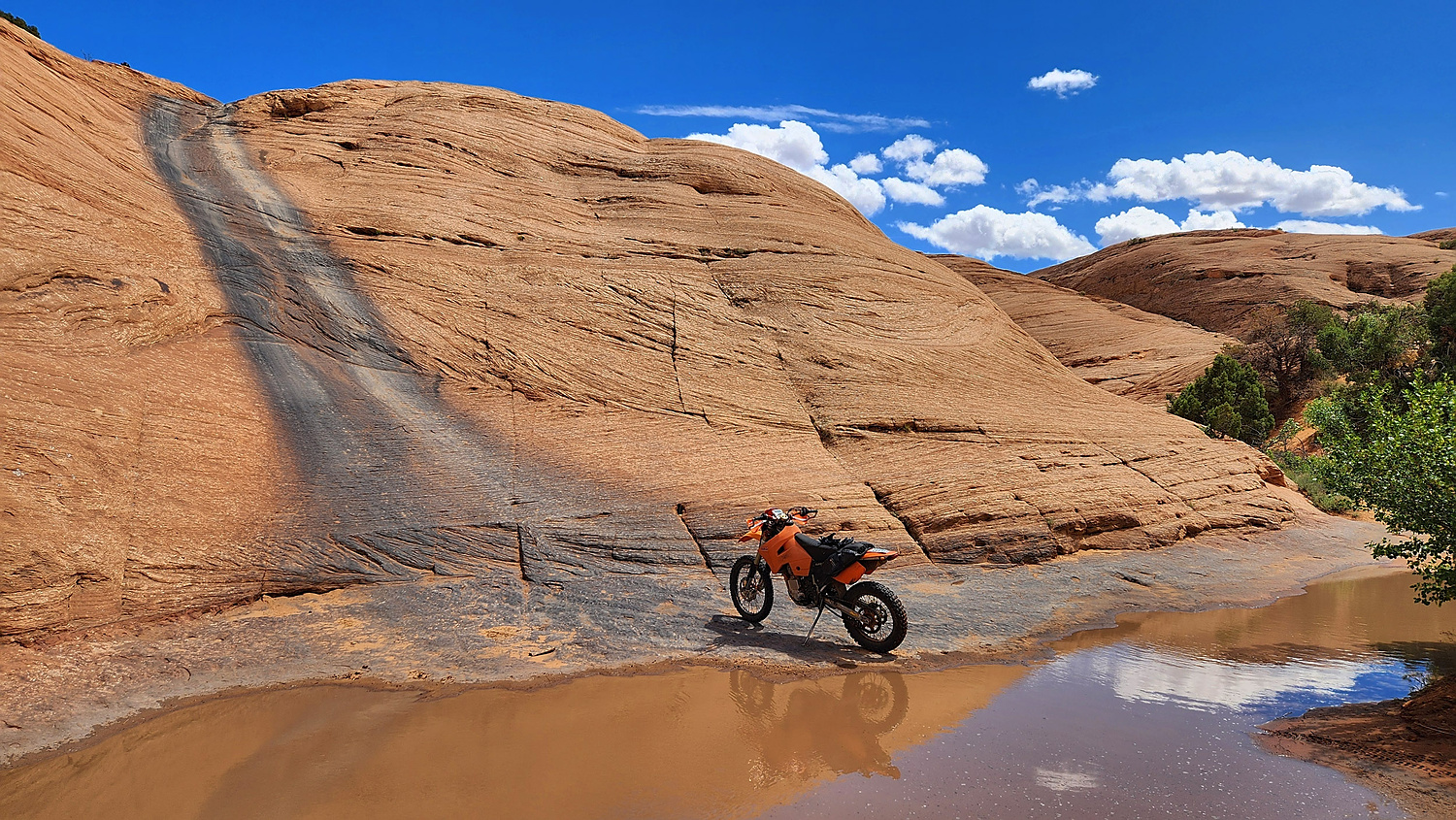
Hell's Gate, a bonus section on Hell's Revenge trail.
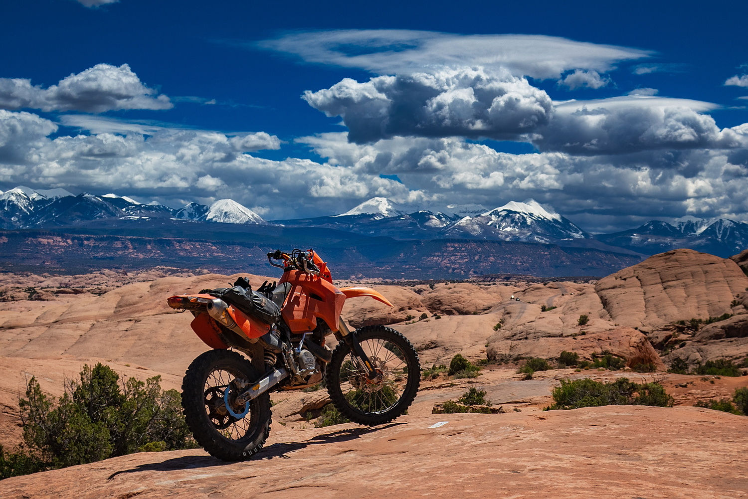
After a snow storm, La Sal mountains coated with fresh snow.
A video of riding Slickrock and Hell's Revenge trails.
Dispersed camping is forbidden in most areas around Moab. One scenic exception is Behind the Rocks area. Not does it offer scenic dispersed camping but also some challenging enduro riding. In addition to the main trail, there are several other dead end trails leading to scenic views over Kane Creek and Hunter canyons.
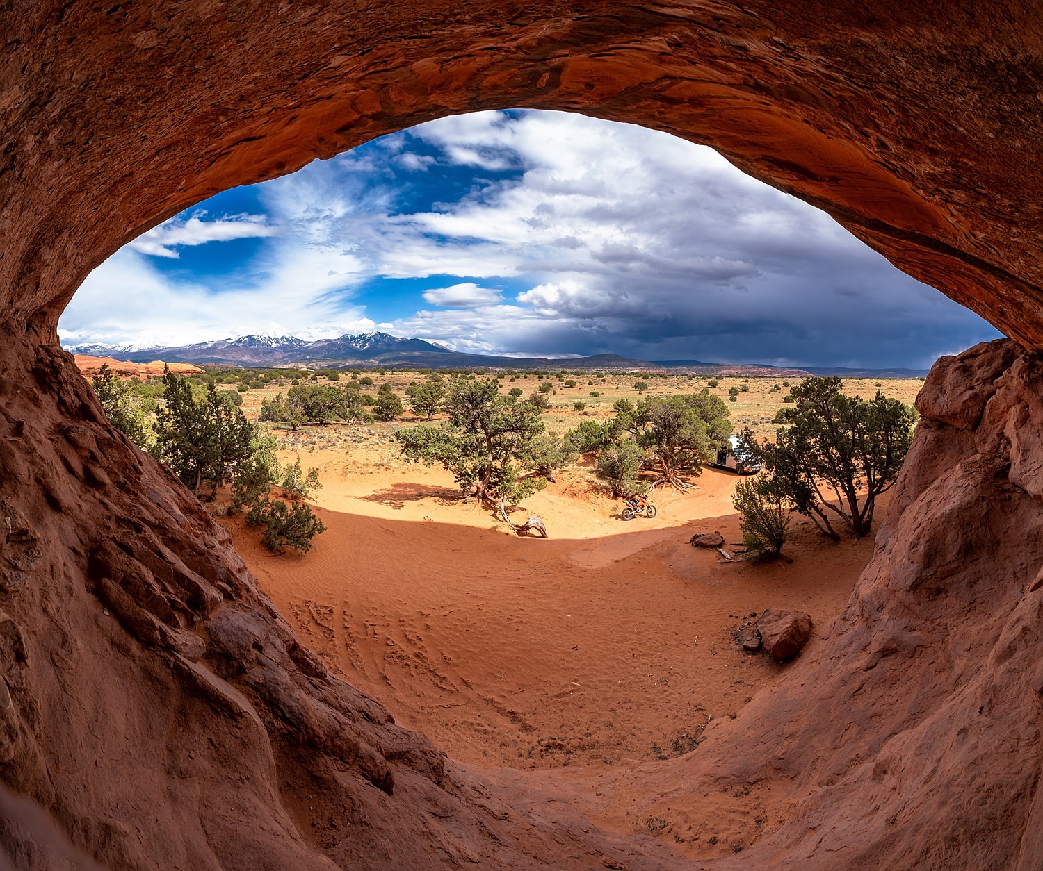
A scenic campsites, my favorite in the area.
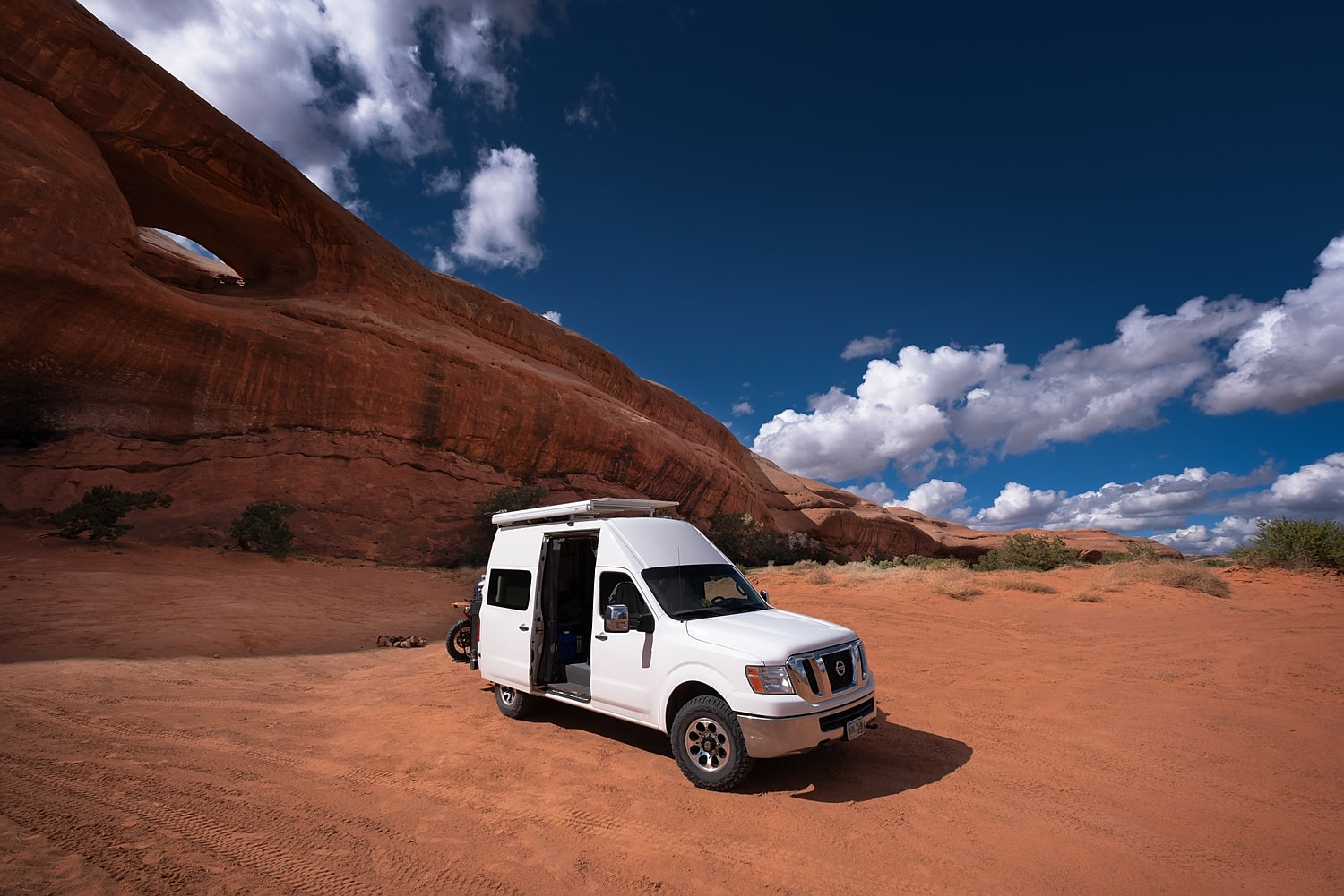
An arches right above a campsite.
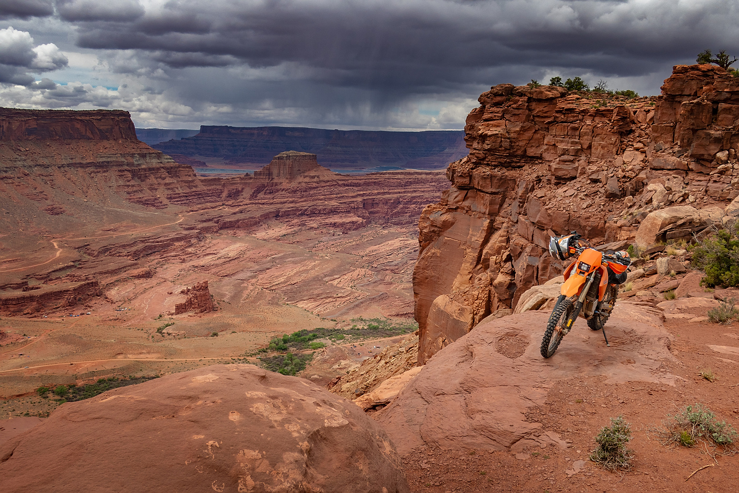
One of several view points high above Kane Creen.
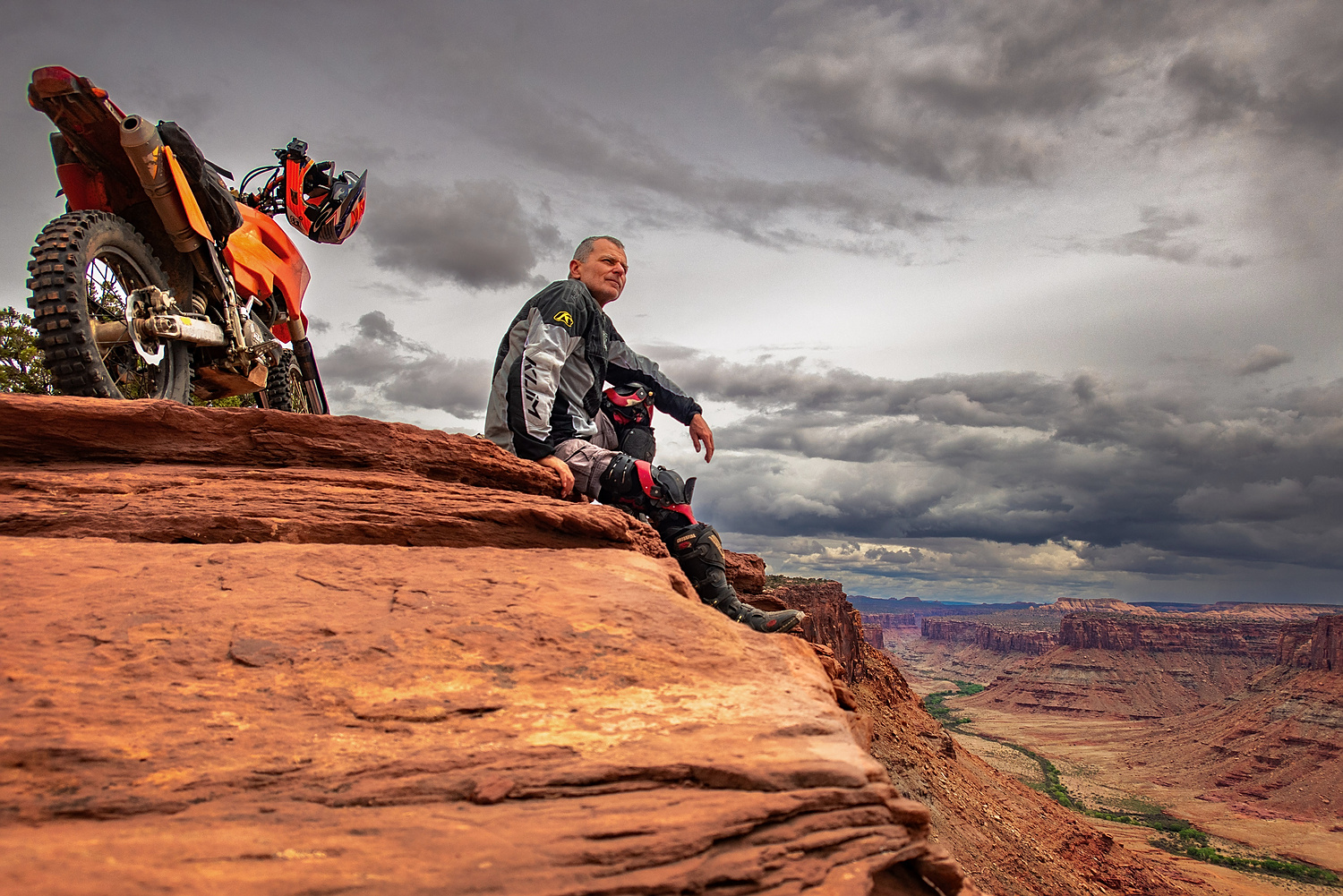
Savoring the moment at a view point.
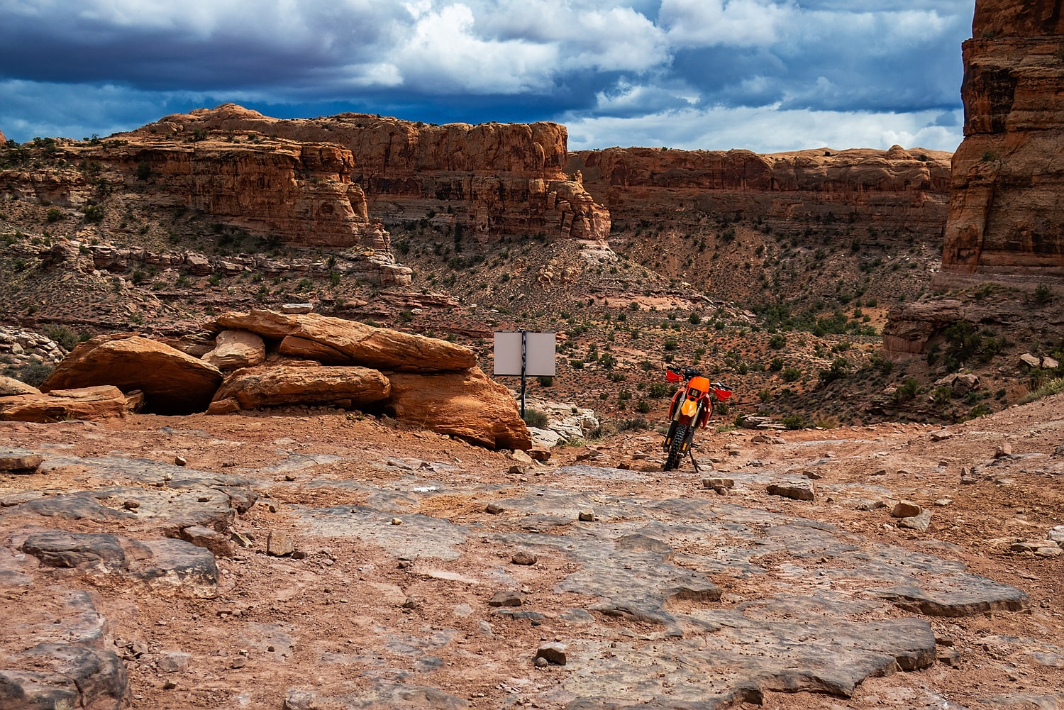
Start of the descent into Pritchett Canyon.
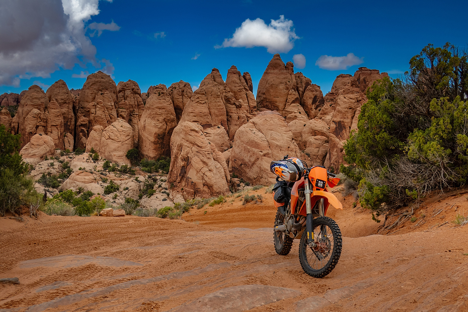
On a sandy hill on Behind the Rocks trail.
A video of what riding Behind the Rocks area is like.
White Rim Trail is another Moab classic. It used to be that no permits were required for day rides, but since the Covid, even day riders require one.
When I inquired at the visitor's center about the procedure to apply for a permit, he gave me a form and said "put your name on it." I didn't really plan on riding White Rim that day, but since getting the permit was so easy, why not? It will probably be much harder to get one in the future.
Even on a fully loaded KLR, the trail is doable in a day. On a small dirt bike, it's really a half-day ride. However, given the many scenic spots, taking photos can eat up quite a bit of time.
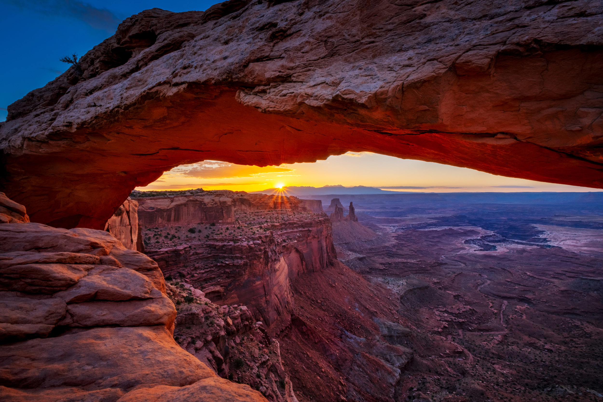
A view of the White Rim from Mesa arch at sunrise.
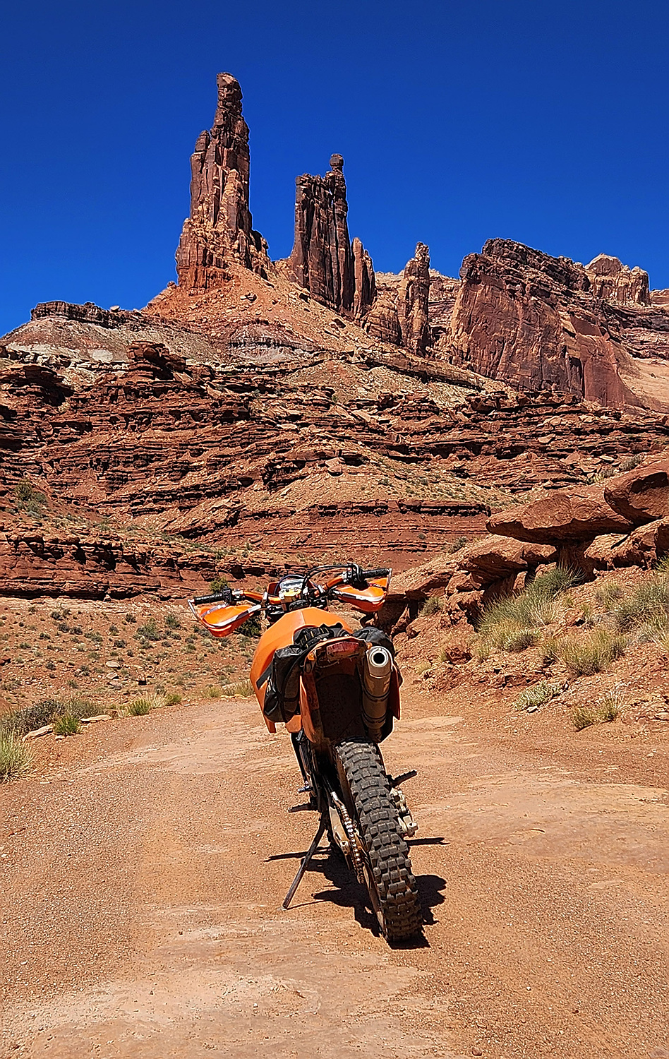
These spires can be seen from Mesa Arch in the previous photo.
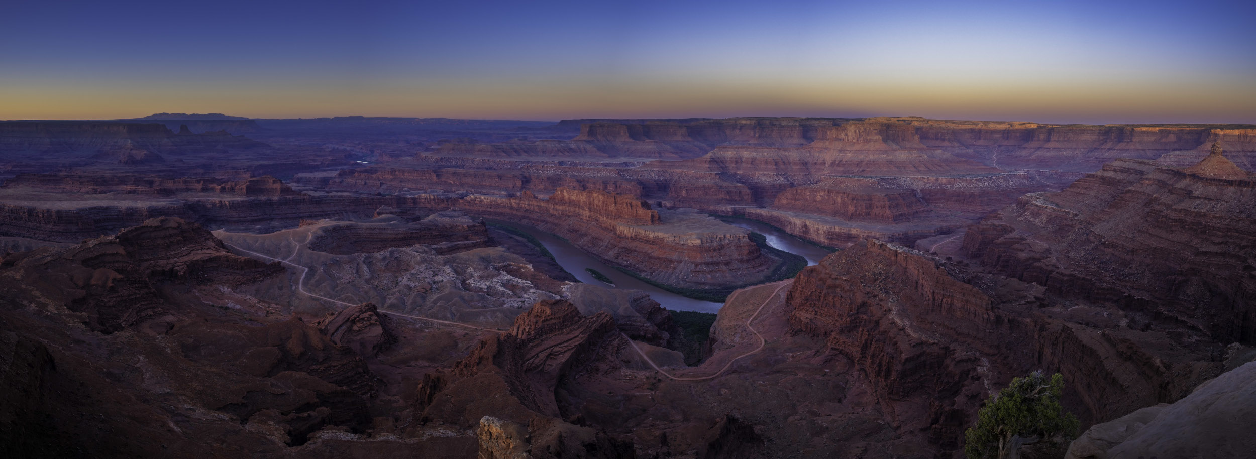
A view of the White Rim Trail from Dead Horse State Park.
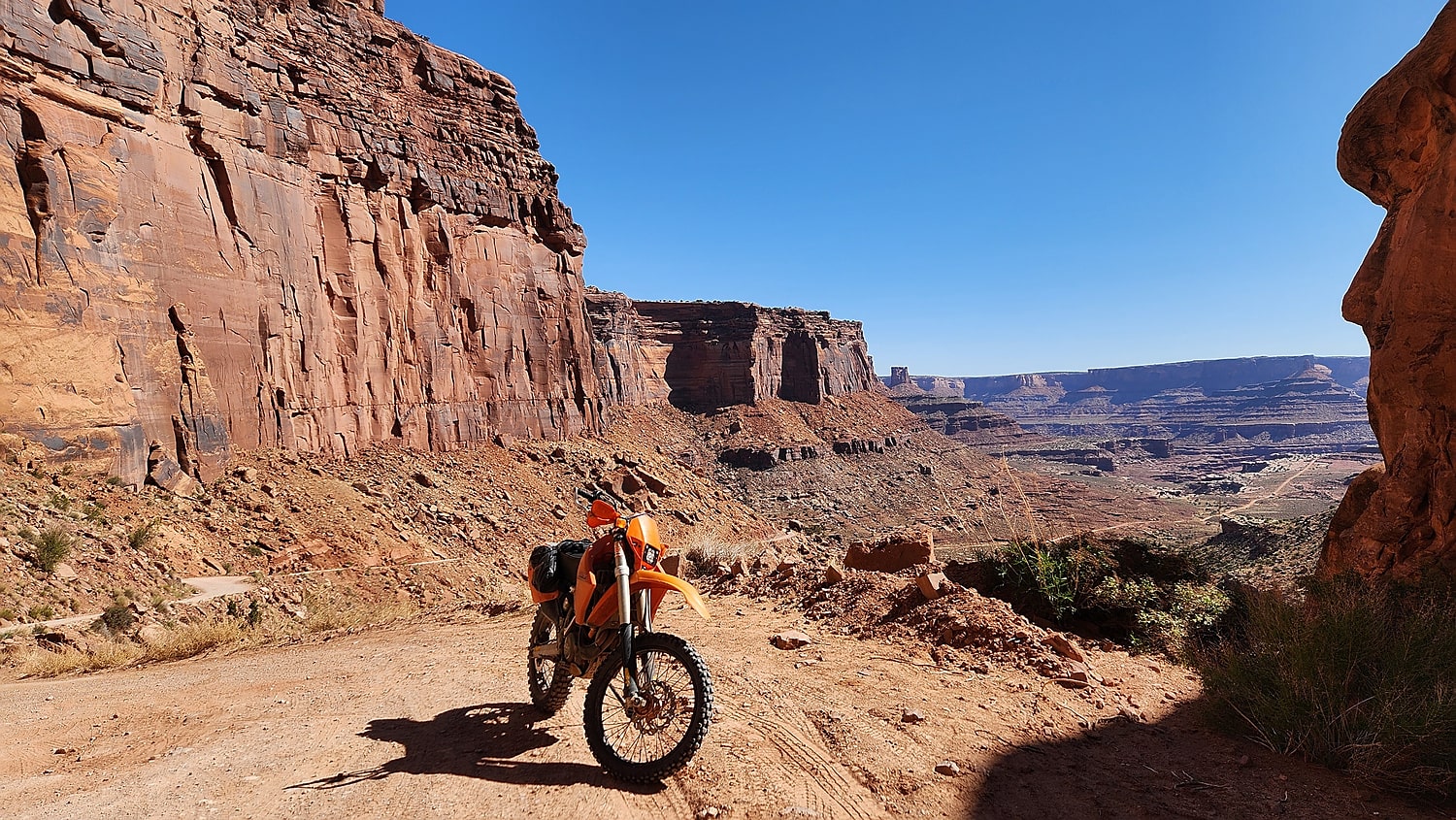
Descent down Schafer trail switchbacks towards White Rim Trail.
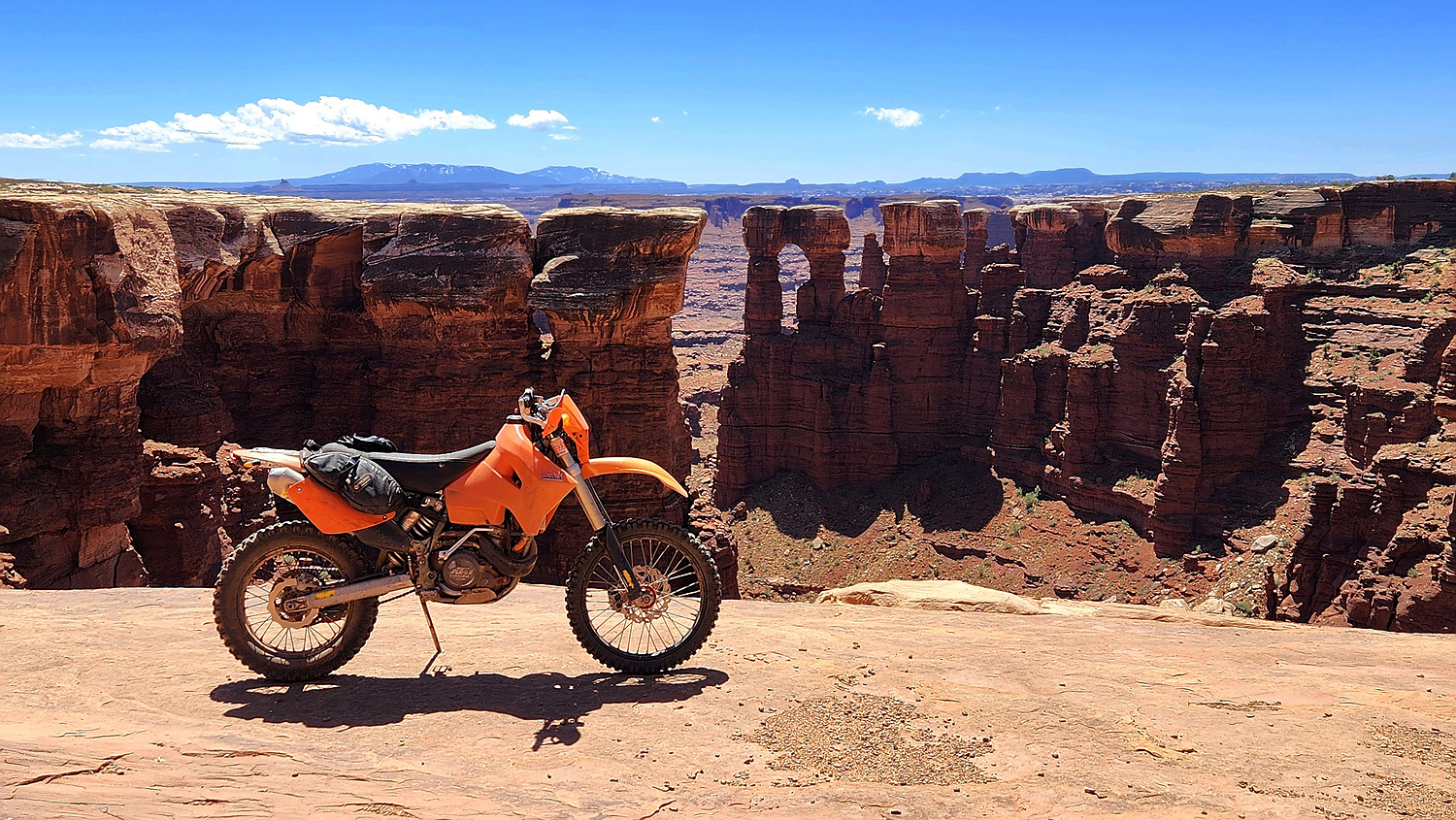
Strange, mushroom-like rock formations dot the trail..

At the edge of the white rim.
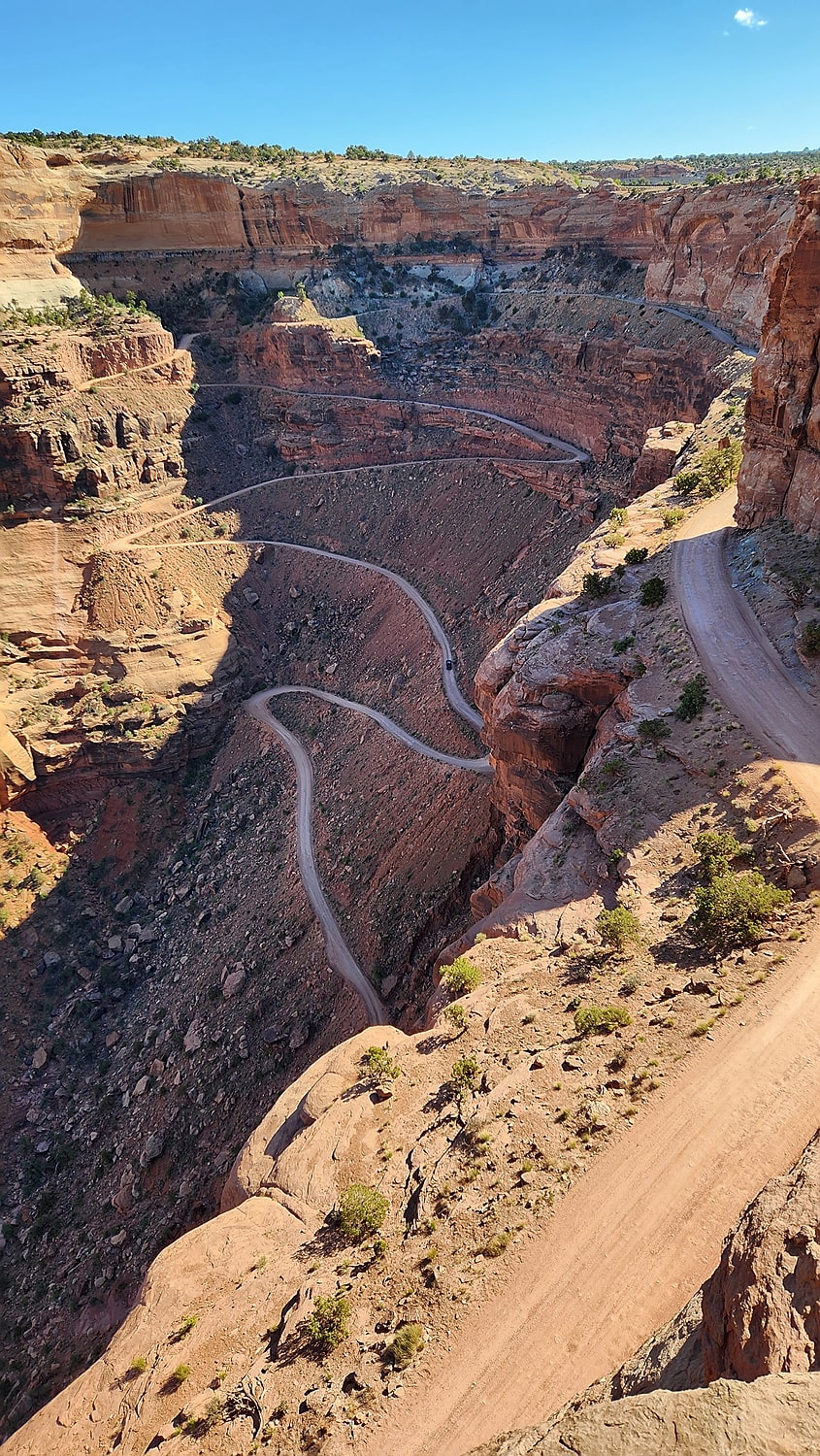
Exit switchbacks on Mineral Bottom Road.
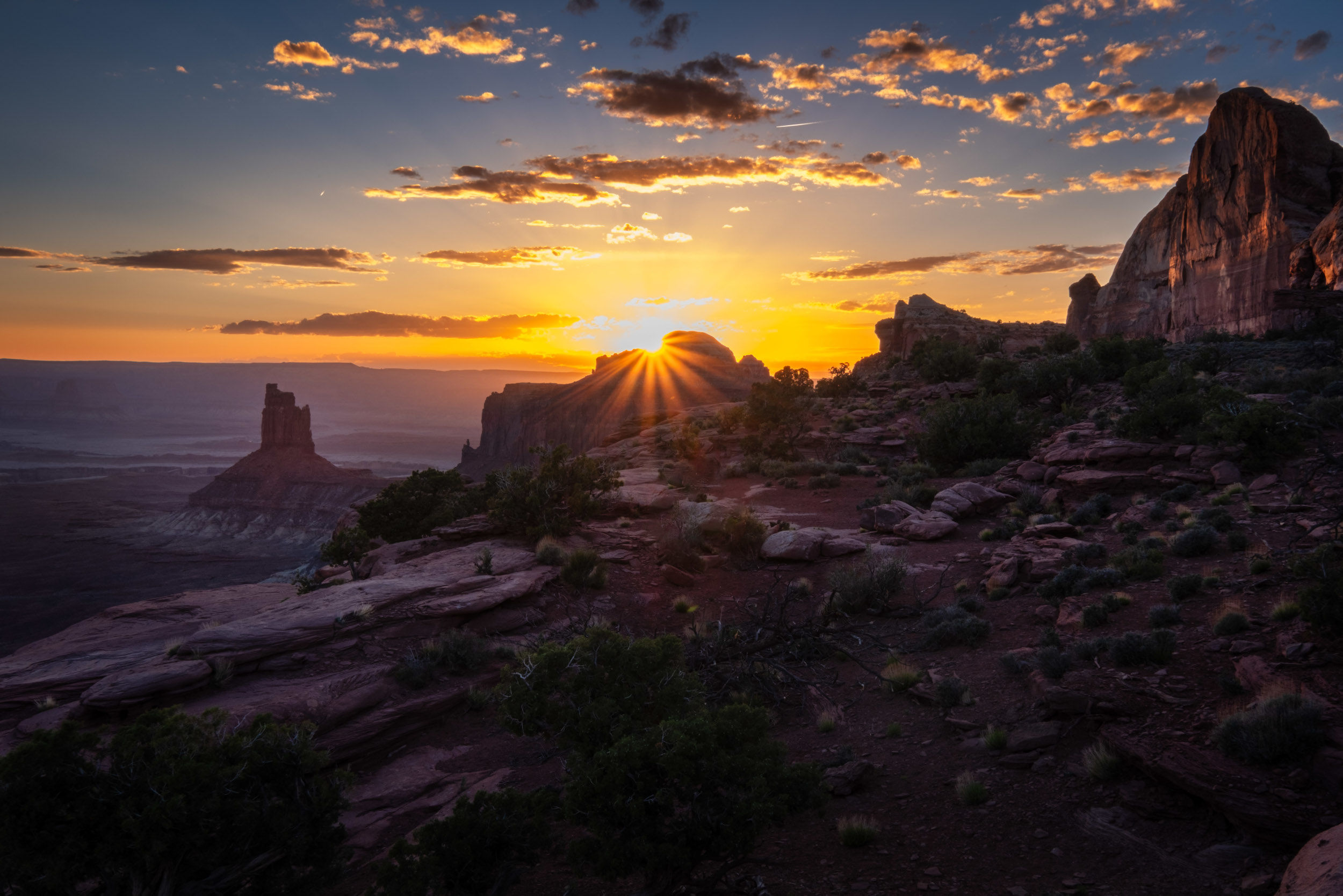
West side of the white rim and rock spires near it.
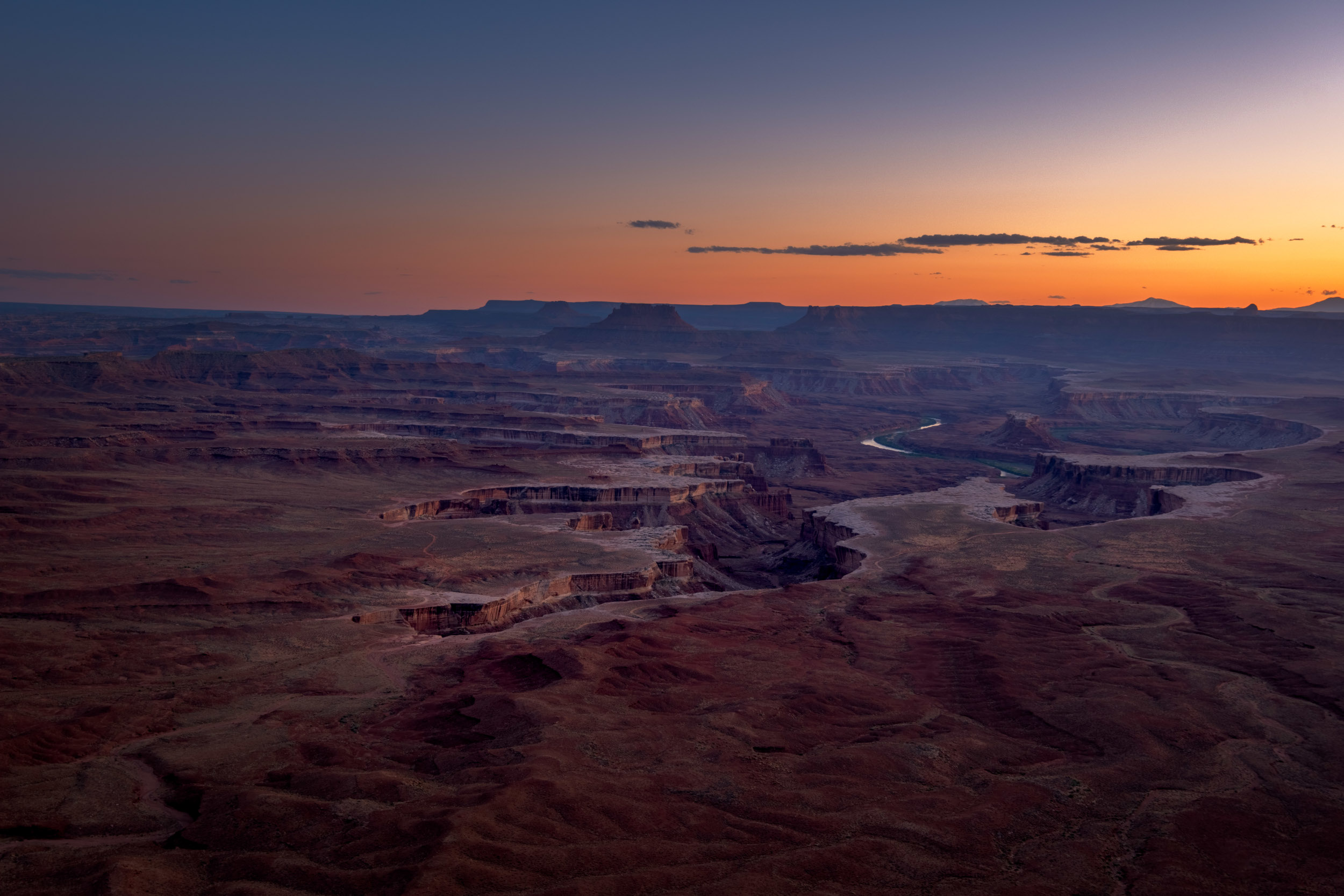
A view of the White Rim (and the trail) from Green River Overlook.
A video or White Rim Trail ride.
Being so close to Moab, this area is often overlooked. However, there are plenty of scenic and challenging roads to ride. In addition, there is an abundance of ancient ruins to explore.
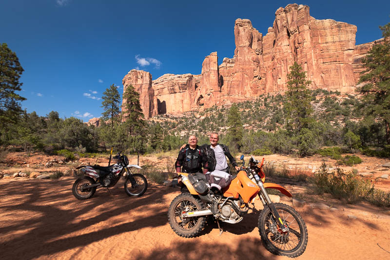
One of the side canyons off highway 95 in Utah.

Dark wilderness has only one road in and out.

Lavender Canyon - fun ride in deep sand.
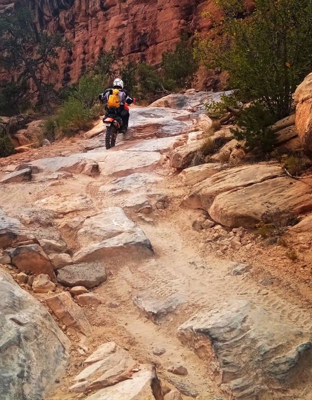
Elephant Hill trail.
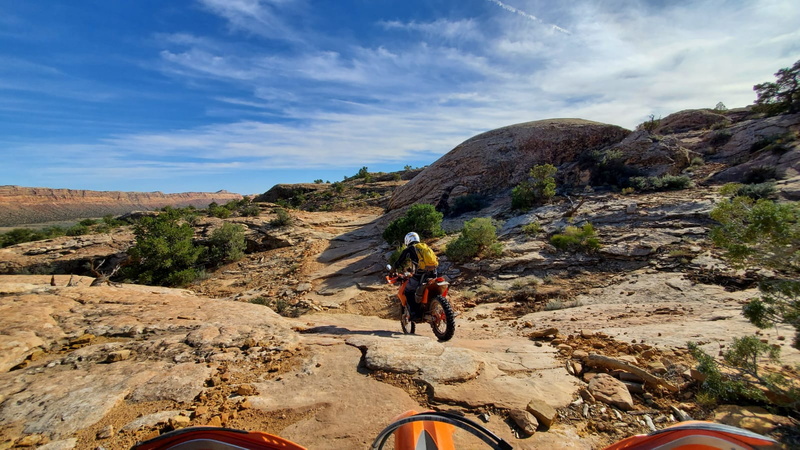
Descending into the Comb wash, the Comb ridge can be seen on the horizon.
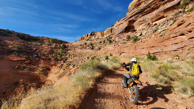
Dugway ascends the comb ridge.

Elephant Hill trail.
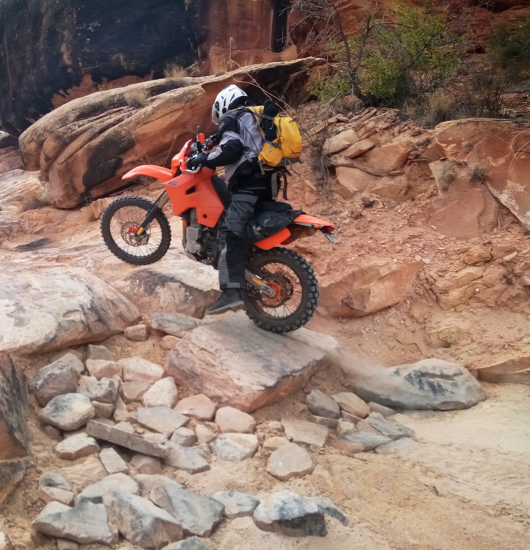
Elephant Hill trail.

Canyonlands NP.
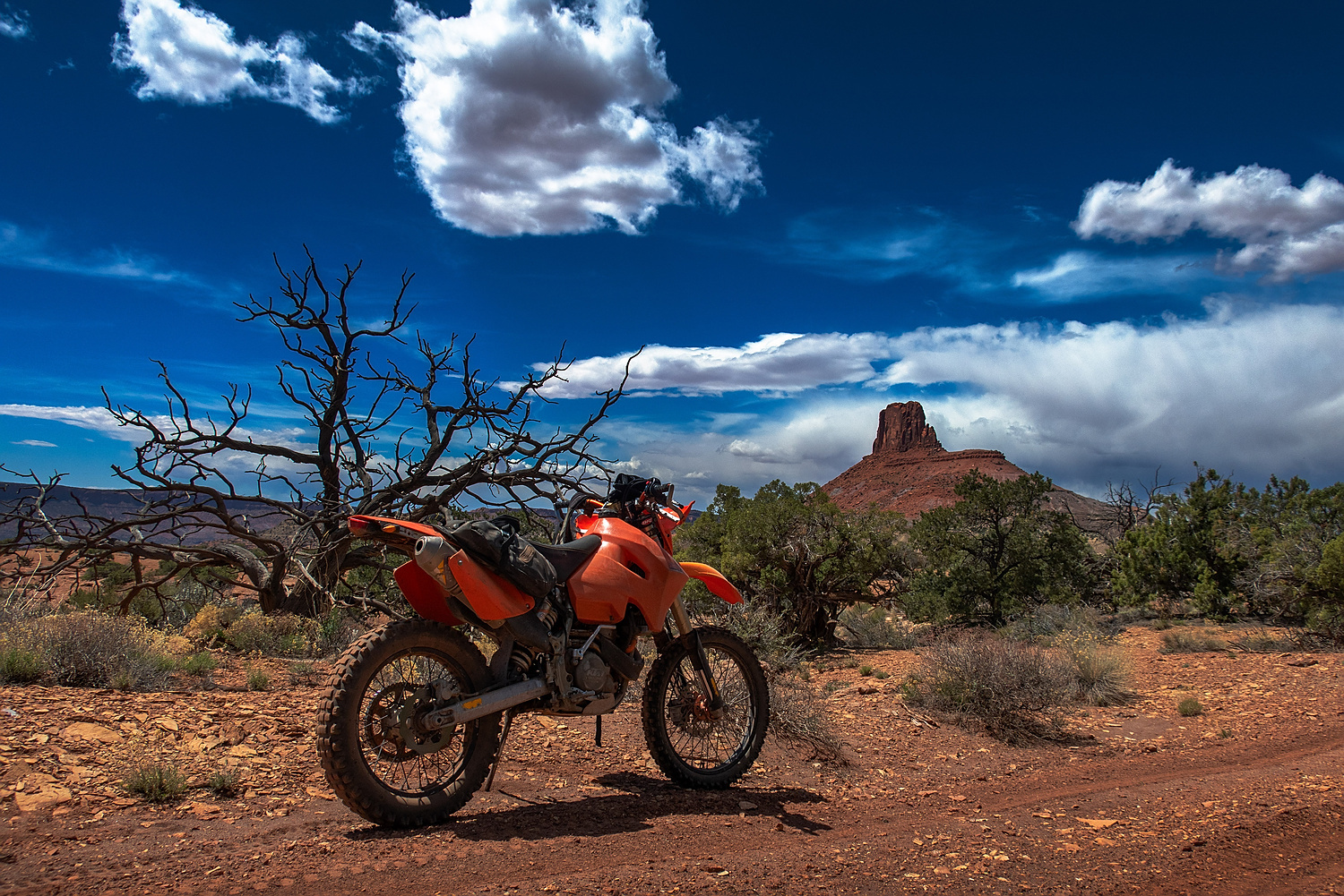
Jacob's Chair OHV trail.
A short video of riding in Jacob's Chair area.
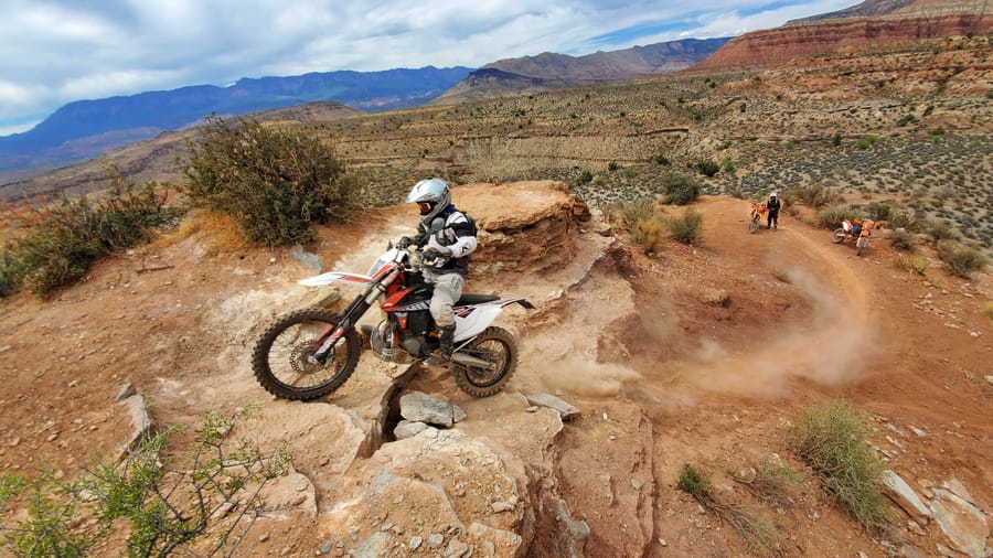
Twister single track trail to Torquerville falls.
Hurricane area near St. George, Utah, is famous for challenging desert rides. However, there are plenty of easier ATV roads to be enjoyed. We spent a week exploring the area.

Well-deserved steak dinner after an exhausting day of riding.
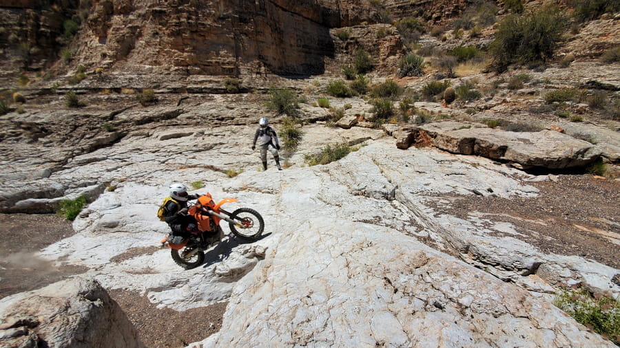
One of the side canyons off the main ATV trail.
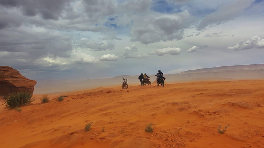
We got caught in a sandstorm while visiting nearby sand dunes.
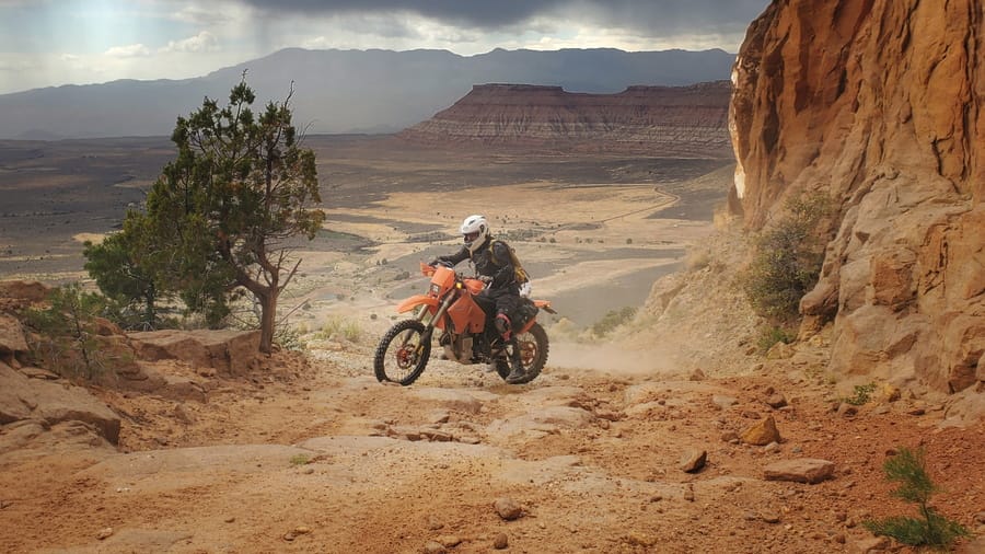
We used this rough dirt track to access riding area from our camp at the edge of a mesa with sweeping views of the Arizona strip.

We played on sand dunes just outside Hurricane.
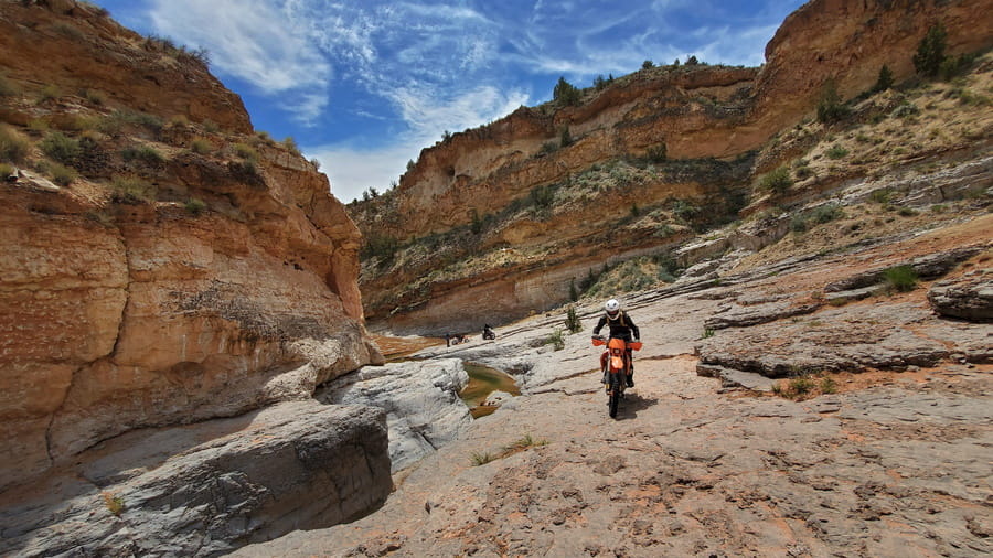
On the way to Torquerville falls.

Just playing around in one of the canyons.
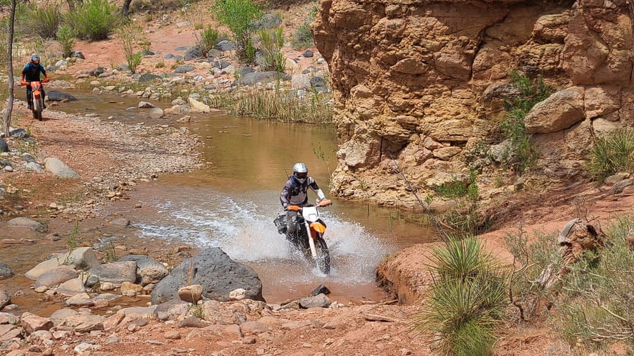
The trail to Torquerville falls crosses the creek many times.

Grand Bench mesa on the north side of Lake Powell - blissfully desolate.
I spent two days exploring singe track trails of Diamond Fork riding area north of US-6, half an hour from I-15. Great Western Trail passes through this area and sections of the trail can be ridden. There are many other connecting single track trails to be enjoyed.
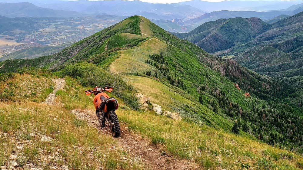
Kirkman trail follows a ridge top for miles and offers great videws on both sides.
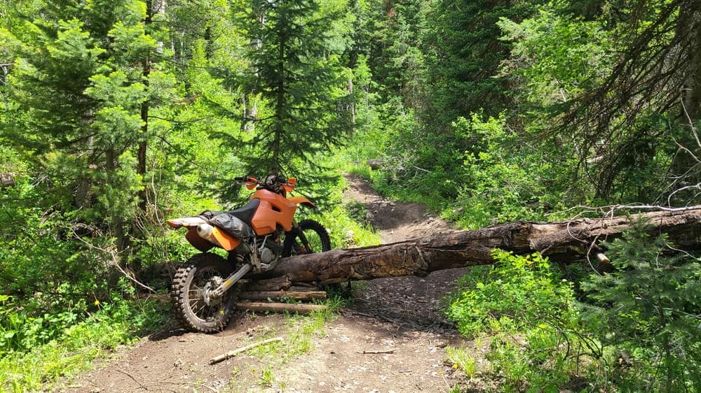
Still working on my log-crossing skills.
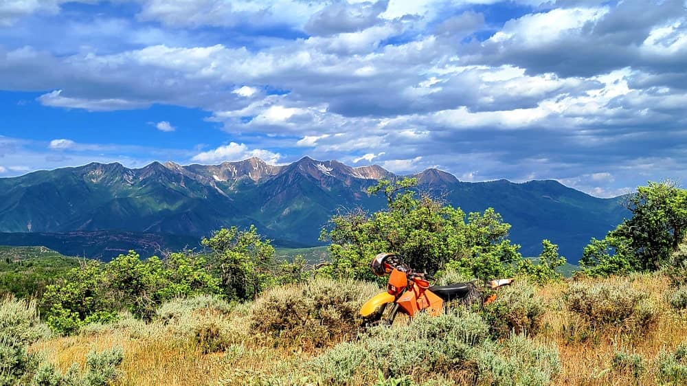
Ridge-top riding at its best.
I never heard of the Alpine Loop in Utah, but there is one, high up in the mountains outside Provo, Utah. The name says it all, it's an alpine paradise for hiking, horse riding and dirt motorcycle riding. There are more than 120 miles of trails for motorcycles. Incidentally, Great Western Trail passes through this area and sections of it are designated for motorcycles.
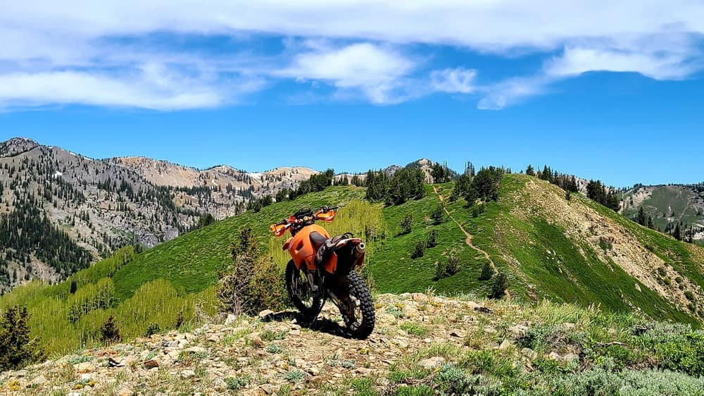
Trail 157, a part of GWT offers amazing riding with superb views.
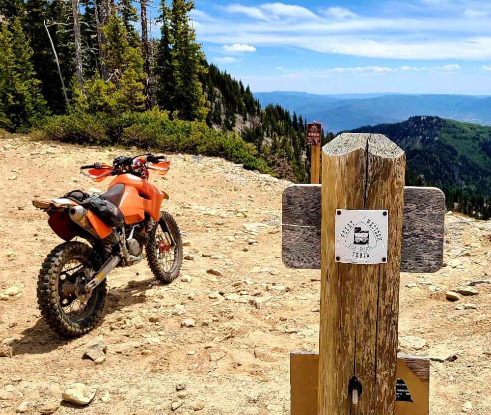
Sunset pass is the end of GWT as far as motorcycles are concerned.
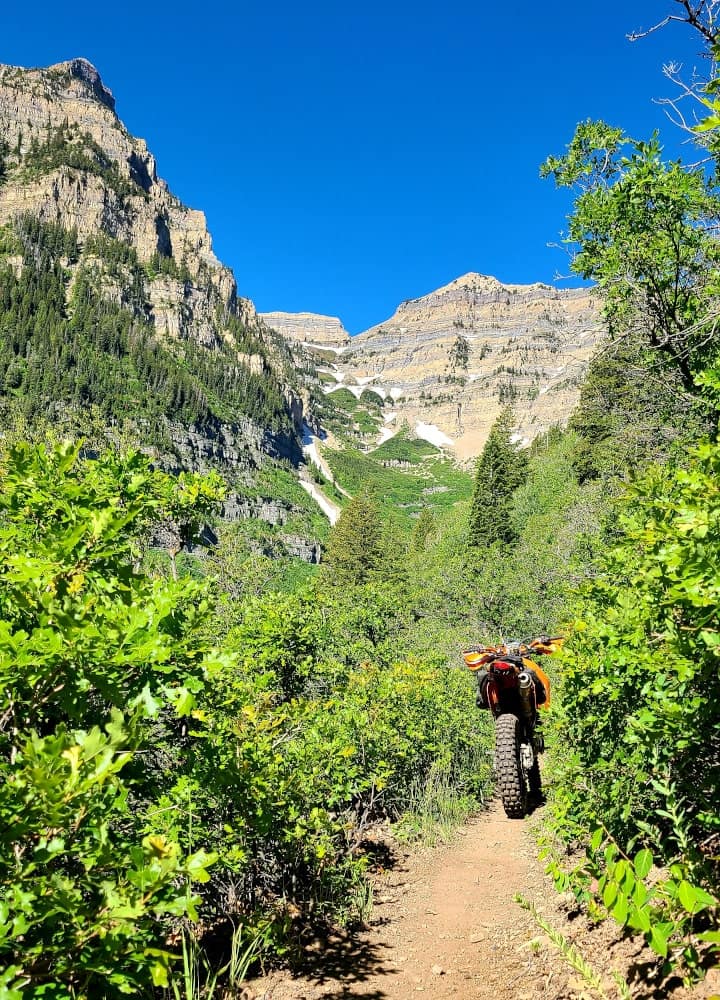
Mountains are quire reminiscent of Canadian Rockies.
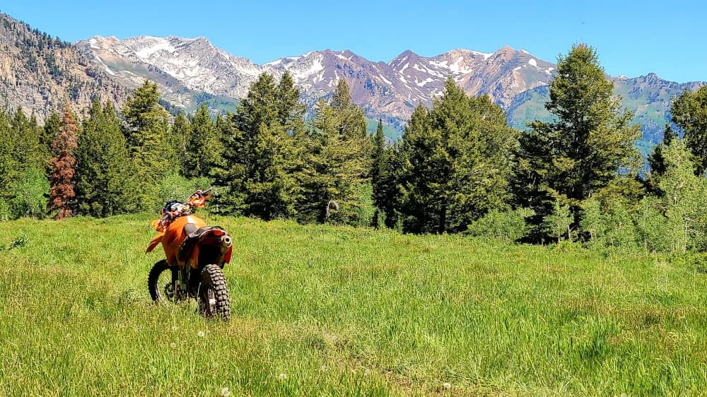
Everything is green in June.
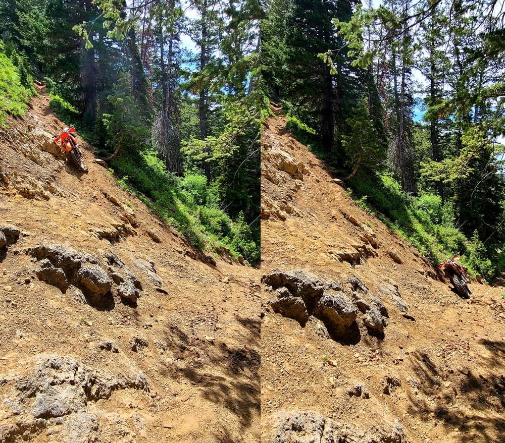
There are some insanely steep, tight and off-camber switchbacks.
Video of some rides in American Form area.
This little known area doesn't feature as many miles of single track (at least not official ones), but the scenery more than makes up for it. While suffering, trying to cross one log, these two guys just flew over it, literally, and inspired me to open the throttle, only to end up falling over. What they did seemed so easy, yet so unattainable. They were supper kind and offered me help and after a short chat gave me maps for trails in Idaho. What a difference compared to swim-or-sink mentality of California, for example.
Another marked difference from riding in the SW is the need for chain saws. I met local riders who were carrying chain saws and clearing trails of fallen logs. Chain saw seems a necessary item on dirt bikes. In a motorcycle store in Boise, I saw two brands of chain saw mounts for motorcycles. I certainly wished I had had one a year earlier on my log-nightmare ride.
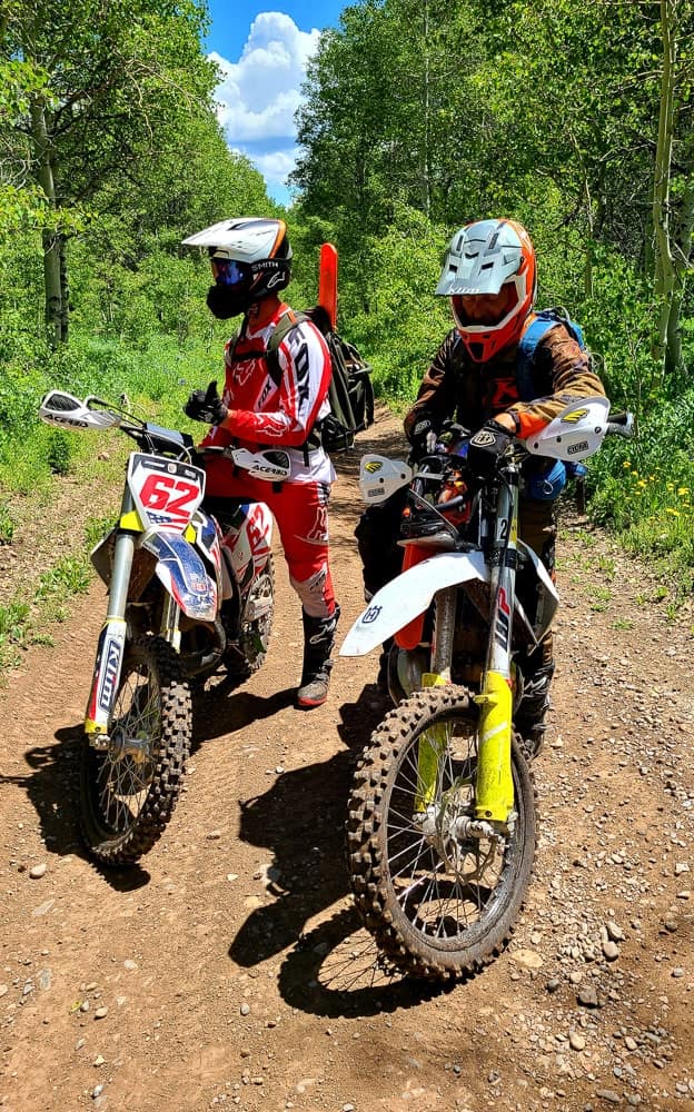
A chain saw is a must for local riders. These guys actually maintain local trails.
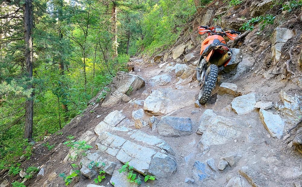
Richard's Hollow trail has a few challenging spots that made me question my judgement.
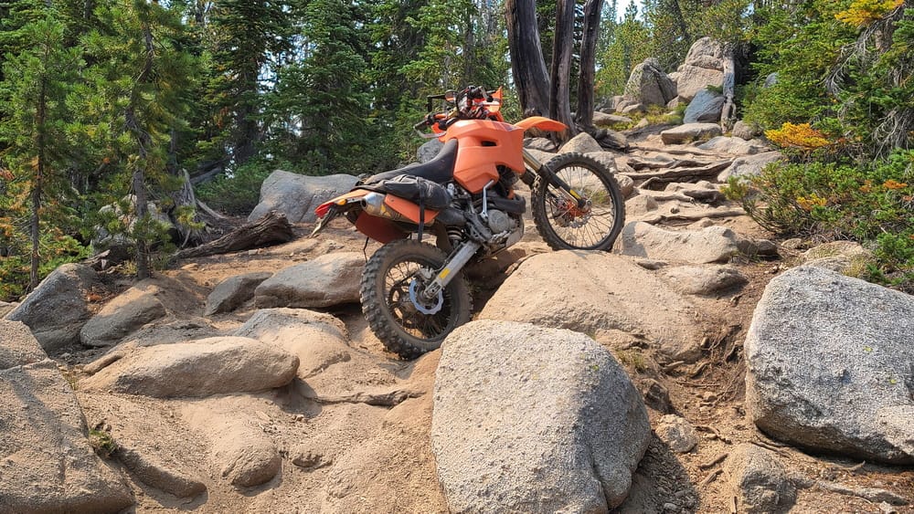
Lookout mountain trail - steep, rocky and exhausting.
Idaho offers some amazing single track trails to ride. For some reason, I never really explored Idaho, on motorcycle or otherwise. After two weeks of traveling and riding around Idaho, I can't wait for the next opportunity to come back.

A brand new bridge just for motorcycles. Most motorcycle trails are well-maintained.
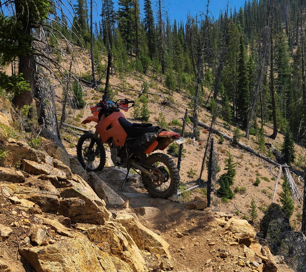
Tight switchback with rocky steps and steep drop-offs got my heart pumping.

Wondering what I'm getting myself into - Rough Creek Trail.

French creek trail leads to the top of a mountain with great view of surrounding areas.
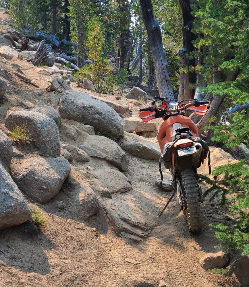
Challenging trail outside Stanley, Idaho.

My campsite at Baugartner.
I've heard many riders raving about Idaho as being one of the best dirt biking destinations in the country. Baumgartner area is among the best areas in Idaho, so it says a lot. Besides miles and miles of pure single track rides, some areas are open for off-trail riding, something I have not seen anywhere else in the USA.
A local rider publishes a set of maps with trail ratings, useful hints (like "downhill only" or "bring a chain saw"). I got a set of his maps from a kind rider I met earlier in Utah. But they can be ordered from the man himself - Bill Dart. Contact him at billdart@rocketmail.com for more info.
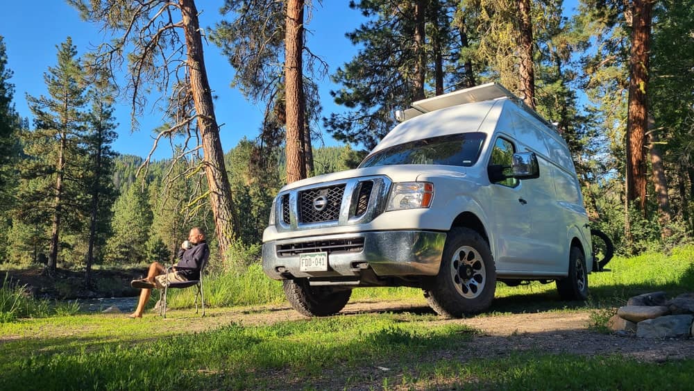
After little town of Featherwille, paved road ends and the paradise starts. There are numerous riverside campsites, one more beautiful than the other.
The main organized campground, Baumgartner campground, has a hot tub which makes it rather popular and making a reservation ahead of time is a good idea. There are plenty of sites designated for dispersed camping though, just as beautiful in my mind. I stayed both in the campground, to take advantage of the hot pool, and outside and I loved them both.
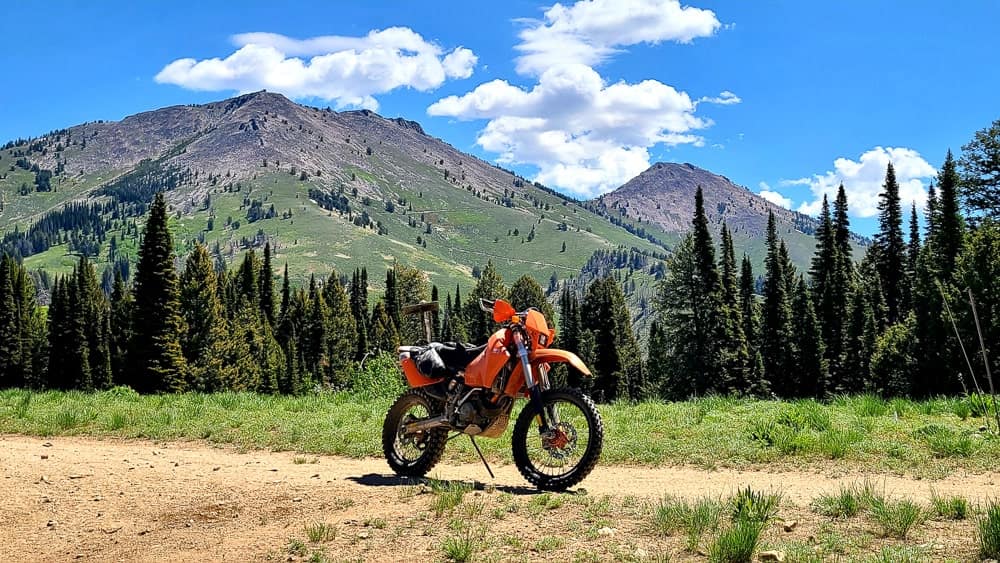
Fun trail riding south of the campground. An ATV trail can be seen zig-zagging up the mountain behind to the fire lookout at the leftmost peak.
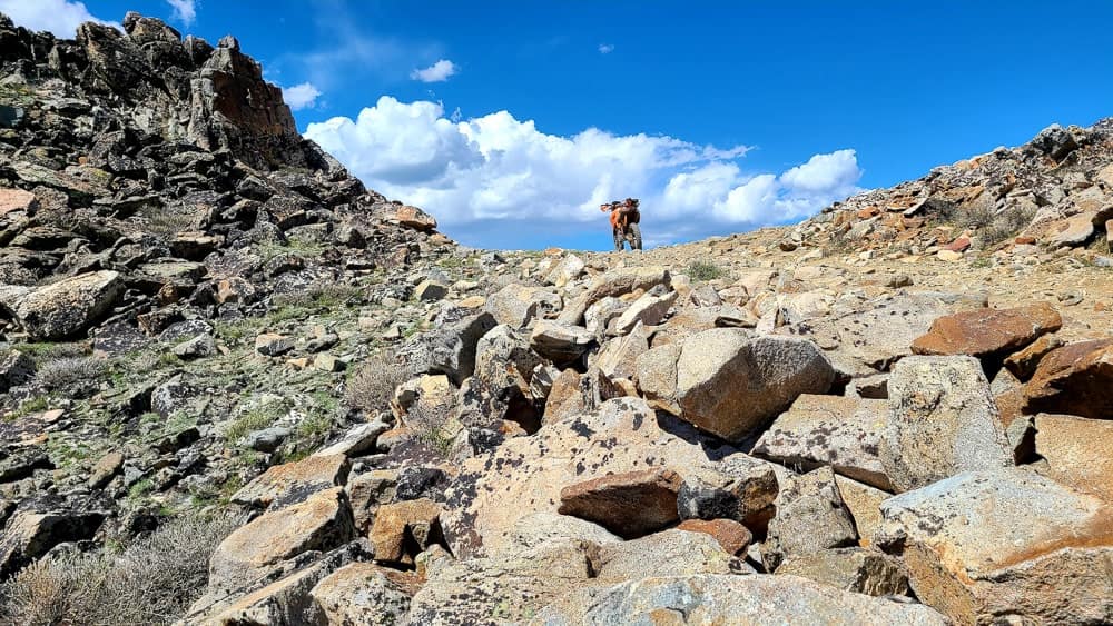
Near the top of the rocky trail to the fire outlook. The last 100 yards of the trail were covered in snow, unfortunately.
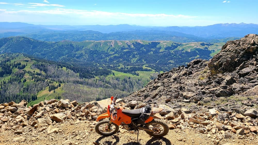
From near the fire outlook, one can see trails below .
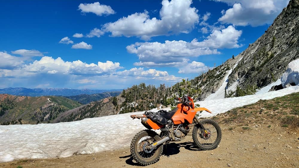
View to the east, towards Ketchum from near the fire outlook.
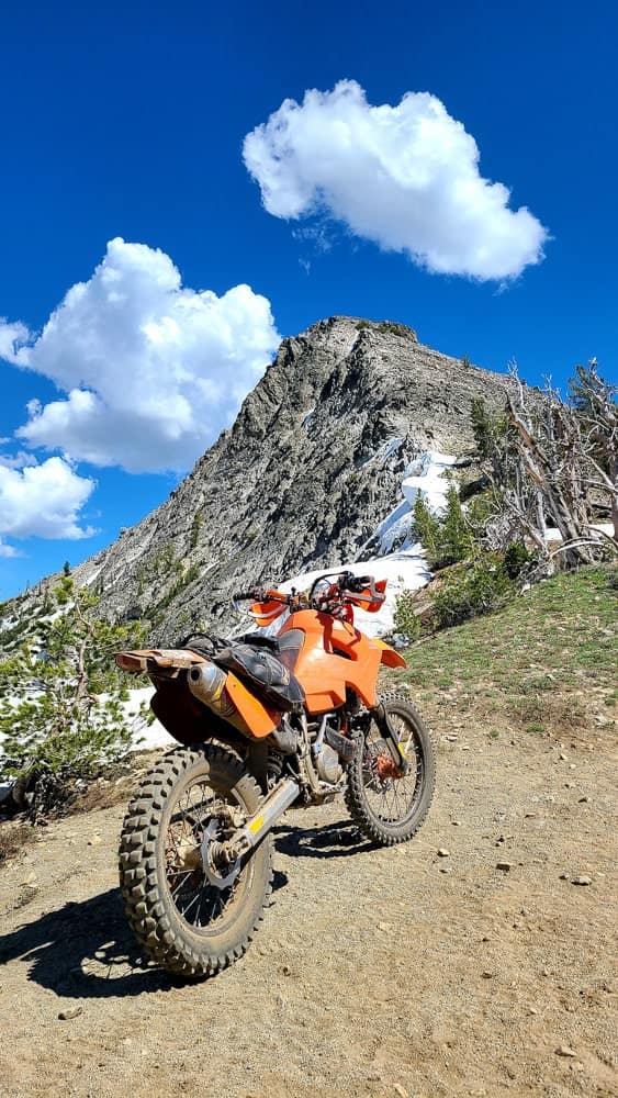
Reaching for the clouds - on the way to the fire outlook.
The second day, I took a wrong turn, ended up on a double diamond trail and used all my mental and physical strength just to turn around and get back to the campground. I spent the rest of the day licking my wounds. To make things worse, my battery died and that meant the end of Baumgartner riding. Nevertheless, I spent next 3 days just enjoying my amazing river-side camp spot.
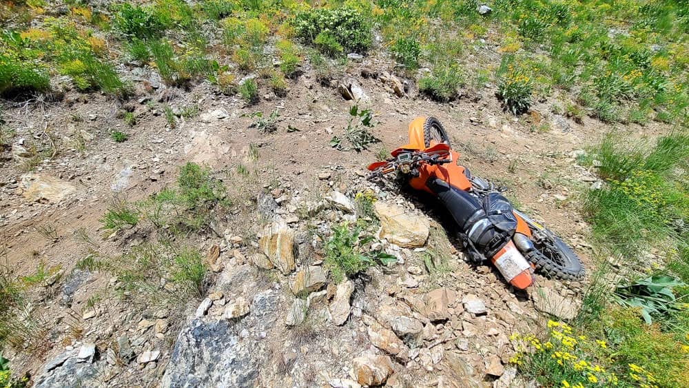
I did not fall here. I am just trying to turn the bike around (without it going down the slope) and get back to the campground. This trail was tough and I had no business being on it.
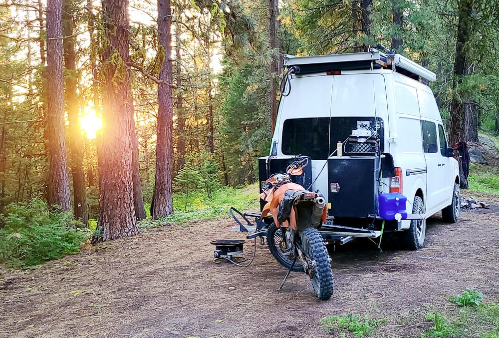
My piece of paradise in the mountains above Idaho City.
Idaho is all about power sports and Idaho City in particular, being a host to an annual enduro race. I tried some of the trails marked for the race, but at a snail pace. My favorite trail was Hungarian Ridge though - long and scenic, with just the right level of difficulty for me.
One of the trails closer to the city with race-track markings.
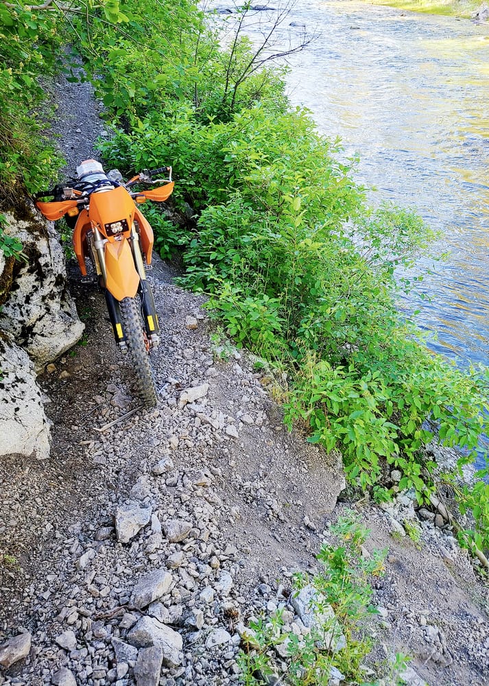
Trail #168 was way above my skill level. I almost lost the bike on this tight squeeze.
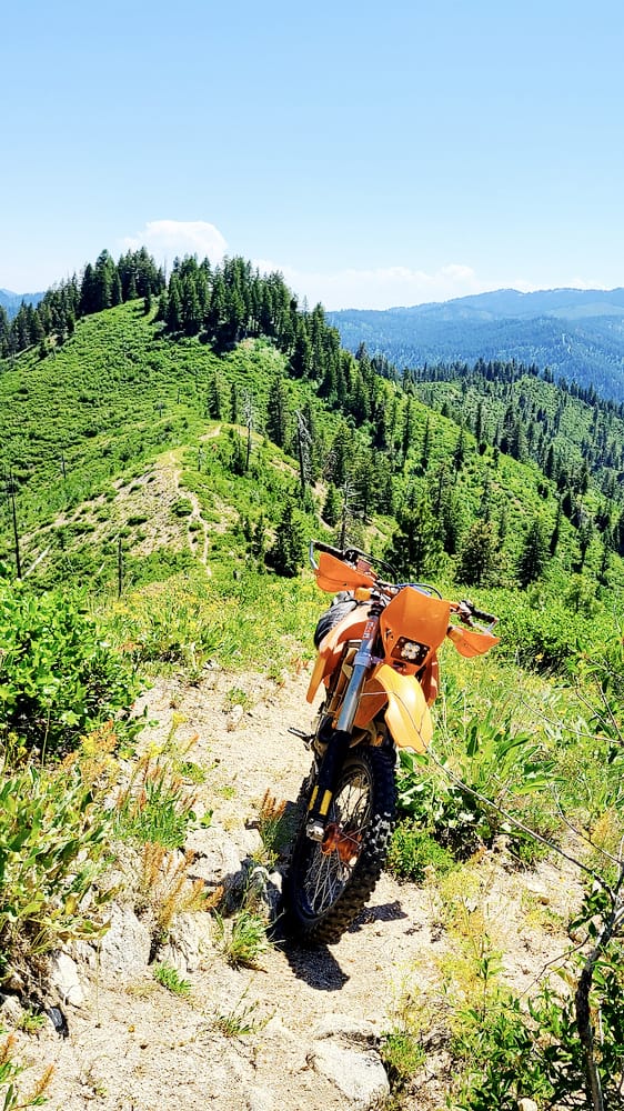
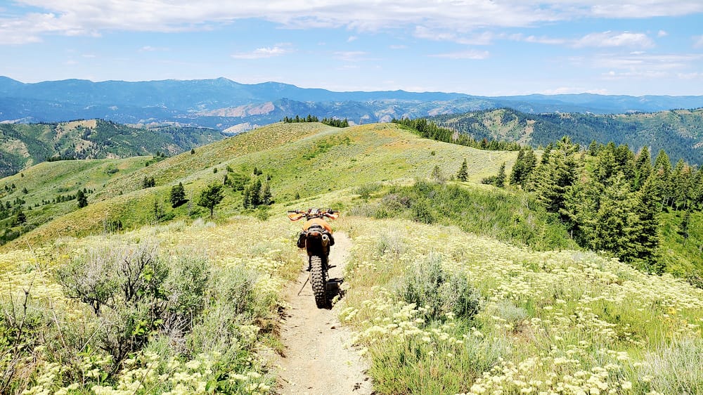
In Idaho, when they say "ridge trail," the trail really follows the ridge.
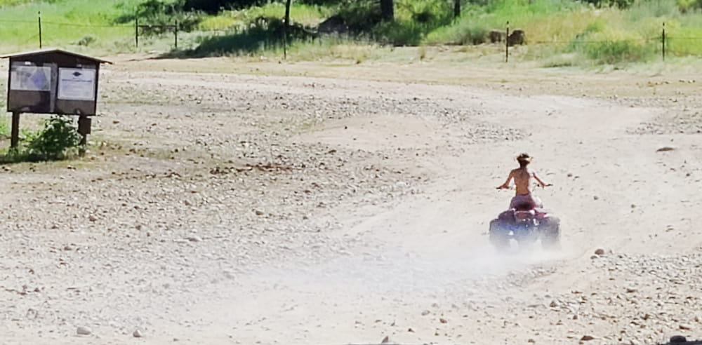
Little wonder Idahoans are crazy about motorcycles - from a cradle straight onto a motorized tricycle.
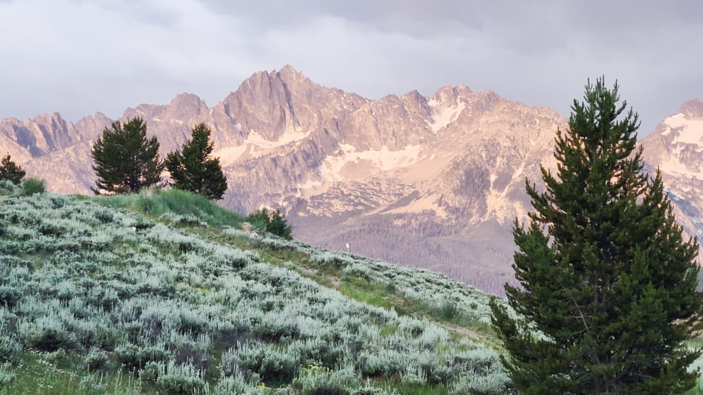
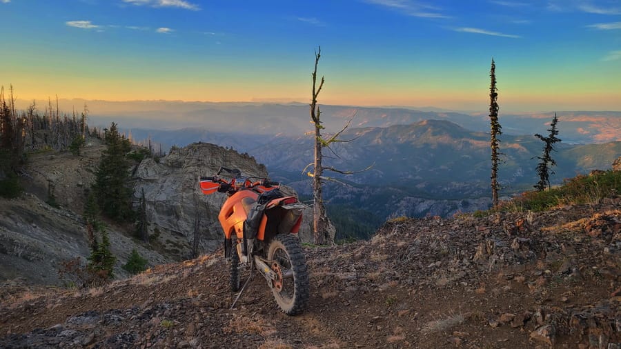
Early morning sun casts warm glow on Sawtooth Mountains just outside Stanley.
Stanley is a tiny town at the foothills of Sawtooth mountains. Countless single track motorcycle trails are a magnet for dirt riders from all over the US. There are trails of all kinds of difficulty, but for me, the biggest difficulty is the condition of the trail. A fallen log can turn an easy trail into a nightmare. Luckily, trails around Stanley are kept in excellent condition.
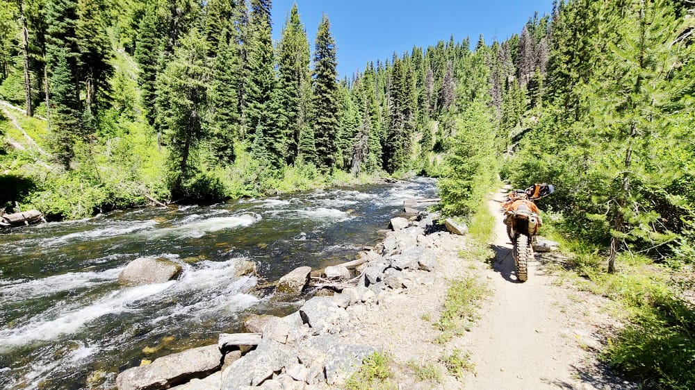
Motorcycle-dedicated trail next to a beautiful river, only in Idaho.
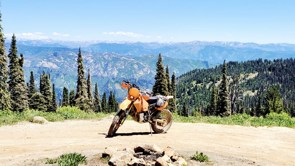
High above Lowman, Idaho.
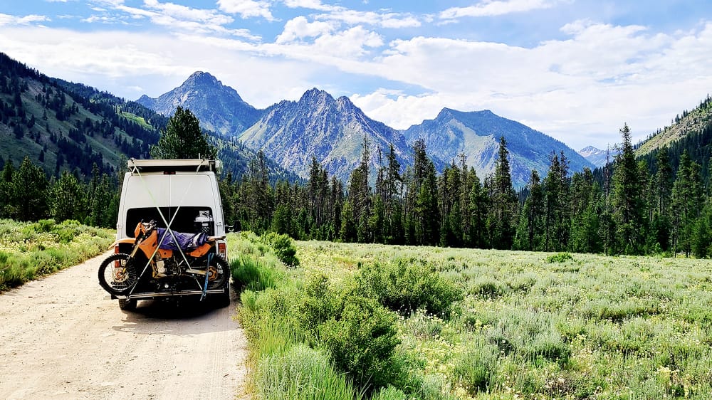
Heading to the boundary of Sawtooth wilderness.
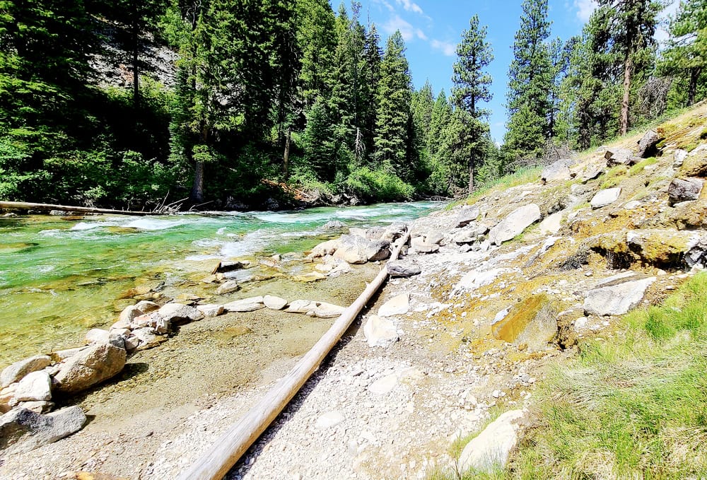
Idaho is well-known for countless hot springs.
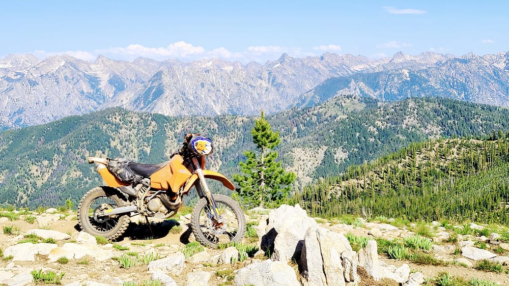
Sweeping views of the Sawtooth wilderness from WAPITI CREEK trail #160 .
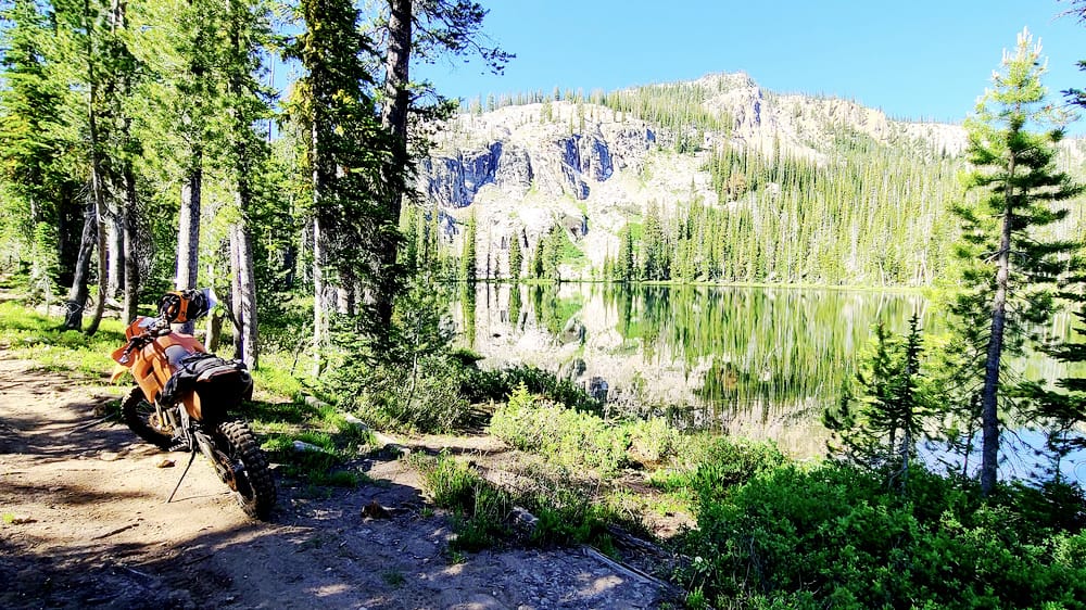
A beautiful start the Swamp Creek Trail ride.
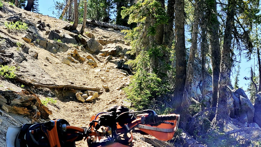
Swamp Creek Trail near the pass is very dry and very rocky.
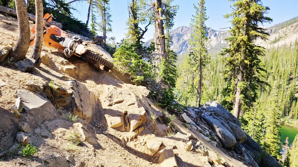
Took me quite a few attempts to get over those rocky steps without losing bike down the ravine.
After the rocky steps, I crested and thought the hardest part was behind me. I couldn't have been more wrong. On the way down, I had to cross many fallen logs, bushwhack and then the trail entered a meadow. I was only a few miles away from the trailhead and road. Unfortunately, that beautiful meadow was a swamp. Grass got taller, trail petered out and I could hear wheels slushing through water. I followed the trail according to my map as much as I could. I crossed several creeks and then, just a 1000 ft from the trailhead, I entered one last creek at the deepest spot (hidden by tall grass) and the water went over the air box. Engine died, but somehow I could push the bike out of the creek. Unfortunately, engine would not start and I had to push the bike through 1/2 - 1 ft of water. Eventually, I pushed the bike out to solid ground. I've seen people getting bikes upright to drain the water from the pipe. Not knowing anything better to do, I lifted the front wheel and cranked engine in that position. To my delight, it started but as soon as I got bike into horizontal position, engine would die. After lifting front wheel up several times, running engine with the bike in upright position, water from the carb somehow burnt out and I could ride back to the van.
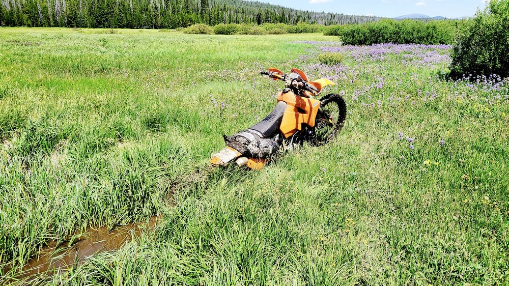
Who would have thought that a trail named "Swamp creek" would go through a swamp.
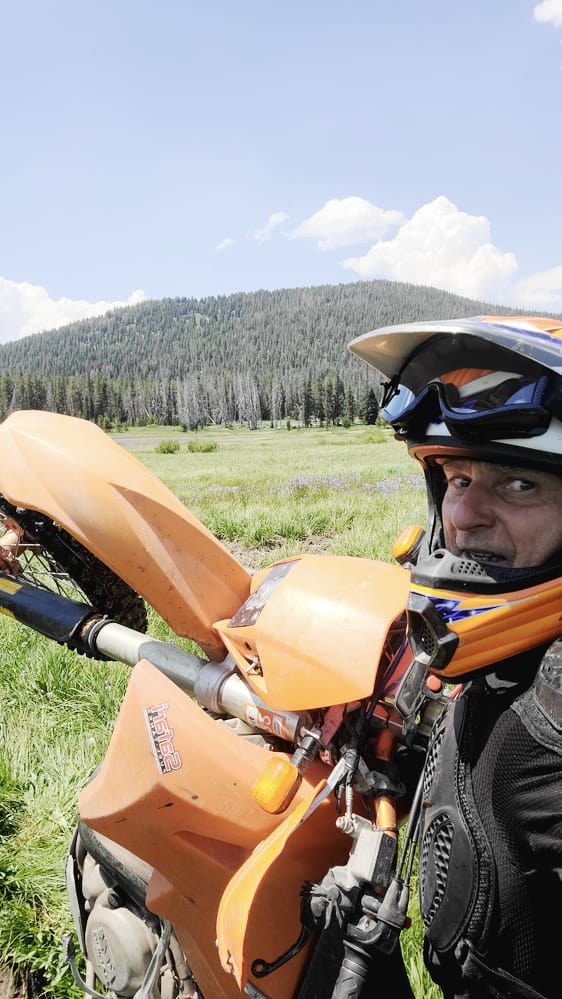
Trying to get water out of the engine after completely drowning bike on Swamp Creek Trail.
Riding in the Pacific Northwest is quite different from that in the desert Southwest. Most rides feature steep, deeply rutted, narrow tracks, overgrown with vegetation and littered with super slick tree roots. Of course, there is a fair amount of mud as well. But the thing that got me was a trail strewn with logs - easily one of the hardest rides I've ever done.

Firefox trail outside Tilamook, OR.

Nicely maintained Blue Ridge trails outside Coos bay, OR.
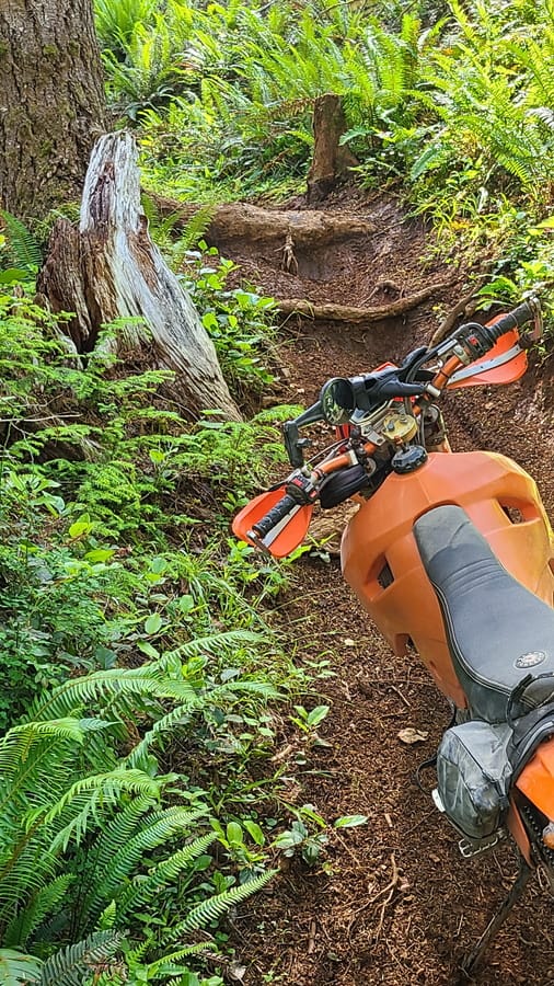
Tree roots, extremely slick when wet, can be major obstacles on steep climbs.

Many trails feature very steep climbs, often with deep ruts.

Moss and fern are everywhere.
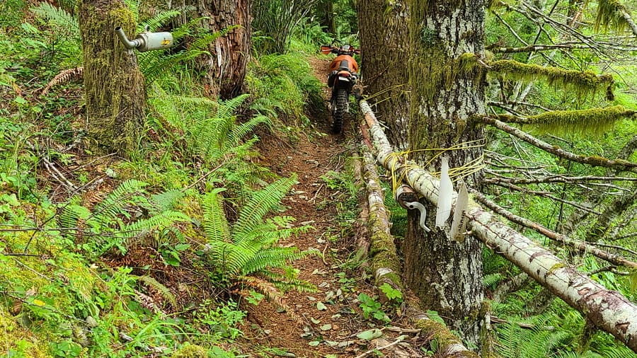
Firefox trail embellished with motorcycle parts.

Often times, it's hard to see the trail from all the vegetation.

Flowers are in full bloom at the end of June.
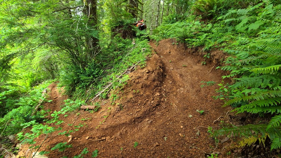
Many steep hairpin turns to be enjoyed.
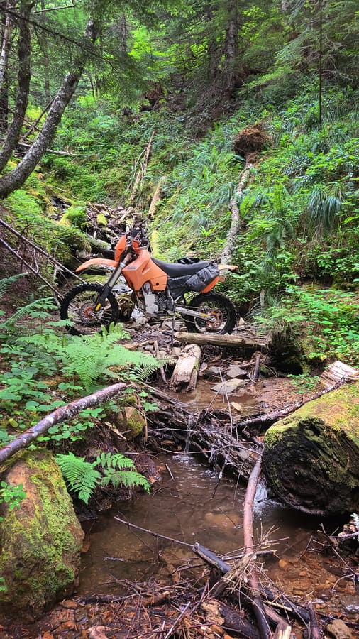
I came across this single track system of trails on Mt Rainier by pure accident, but it turned out to offer excellent riding.
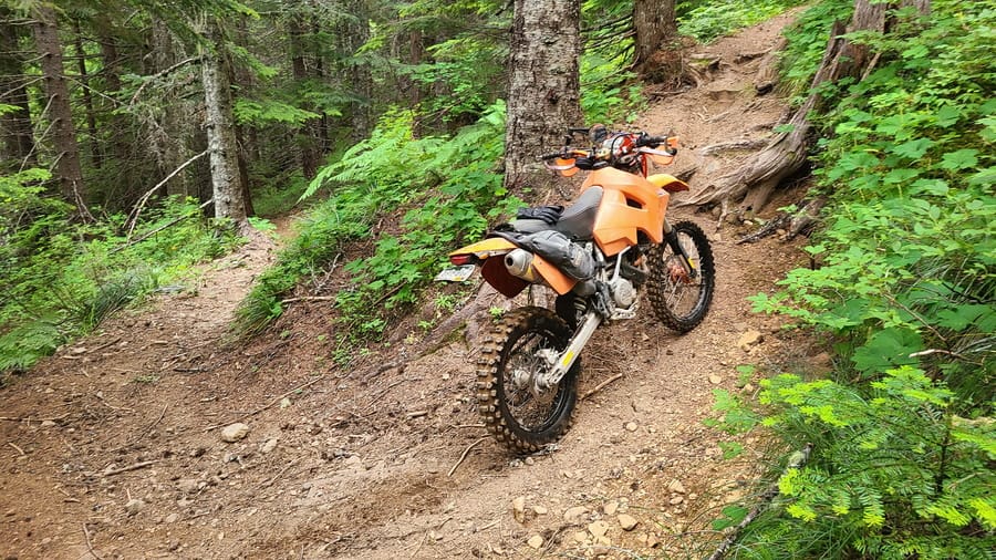
Surprise, exposed tree roots after a tight hairpin turn.
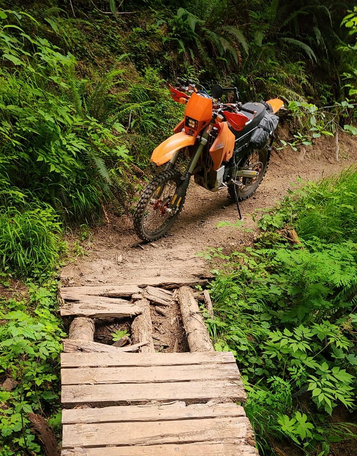
I played it safe and walked the bike over this broken bridge.
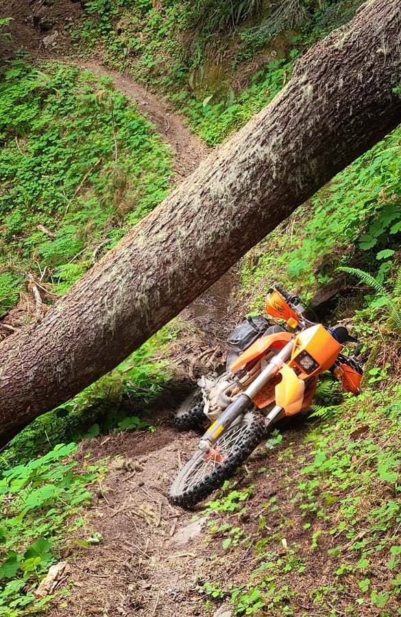
I thought it was tough getting bike under this log. Little did I know that a few days later, I would be stuck on a trail strewn with logs.

Logs often block trails in the NW.
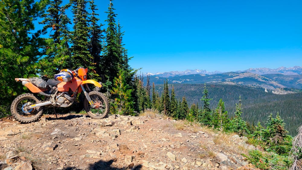
Wenatchee NF is just easy of the Cascades National Park and snowy peaks of the North Cascades can be seen while riding trails in this area.
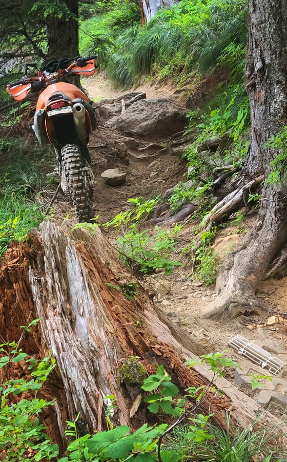
Climbing steps formed by tree roots is one of the hallmarks of NW trails. Notice the radiator guard left behind by some riders.
Sunset ride up Lilian Mt. trail at Mission Ridge ORV system near Wenatchee.
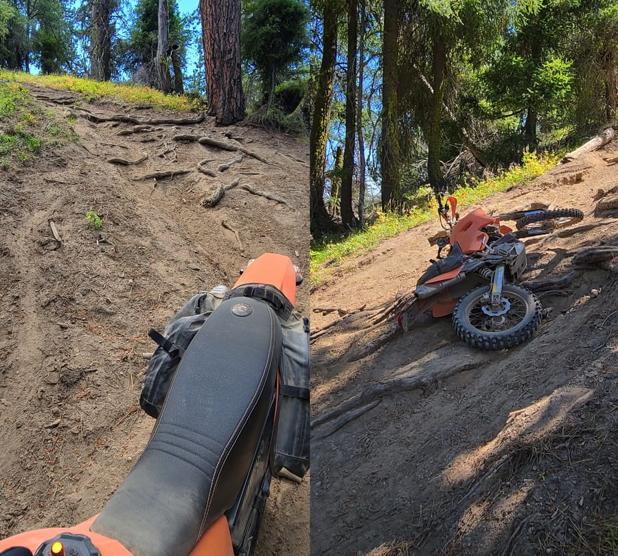
Tronsen ridge trail - going down a steep rooted hill was a lot easier than going up.

Mission Ridge trail.

Jolly Mt trail leads to the very top of the Jolly mountain. In the distance are snowy peaks of the Cascade mountains that I hiked with a friend a week earlier hiked a few days earlier.
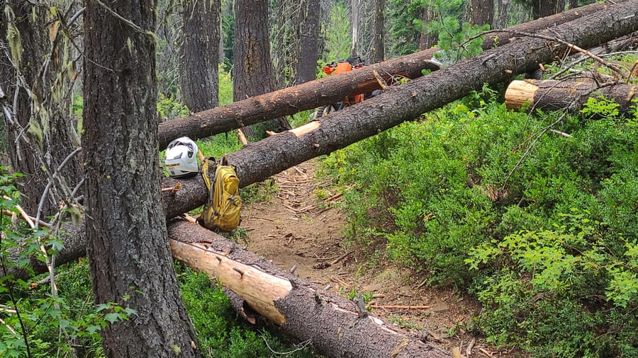
I had to cross 46 logs on the otherwise easy Middle Fork of Teanaway river trail.
Cle Elum area motorcycle trails are challenging to ride and offer great views of the Cascade mountains. Now I could see the mountains that we hiked a week earlier along the Pacific Crest Trail from a different perspective.
After an enjoyable ride up the Jolly Mountain, I wanted to descend the Middle fork of Teanaway river (local riders told me it's an easy descent). In order to reach it, I had to ride Jolly Creek Trail - steep and exposed, but since I was going downhill, it didn't seem so bad.

Beginning of the trouble - descent down Jolly Creek trail towards Middle Fork Trail.
Once I descended the steepest section, the real troubles begun - logs across the trail. Considering the steep and exposed climb back, I figured I could handle one or two logs. I'll get bike somehow over or under the logs. Besides, I saw fresh tire marks on the trail and over the logs. So how hard can it be?
Well, wery to extremely hard. What I failed to consider is that those guys who left marks on the logs were:
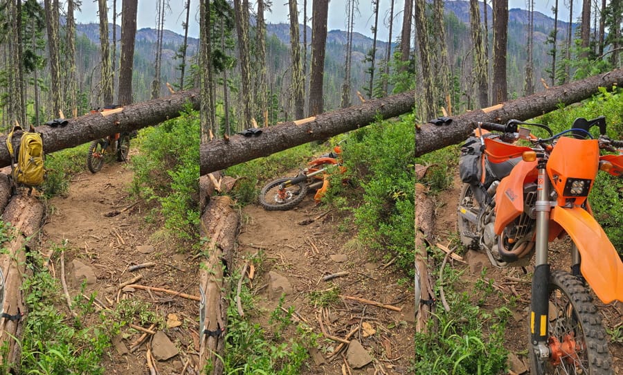
I started off with just sliding the bike under some logs.

Some logs were too close to the ground to slide bike under, so bike had to go over the log.
I slowly got sucked into the log trap. I thought it would be just one or two logs to cross. After I crossed 10-15 of them, it was already too late to go back (especially considering very steep and exposed section of the climb up).

Bypassing some logs turned out to be actually harder than crossing them.

At this point, I started getting worried - four hours into the ordeal, low on water, no food and no end of logs in sight.
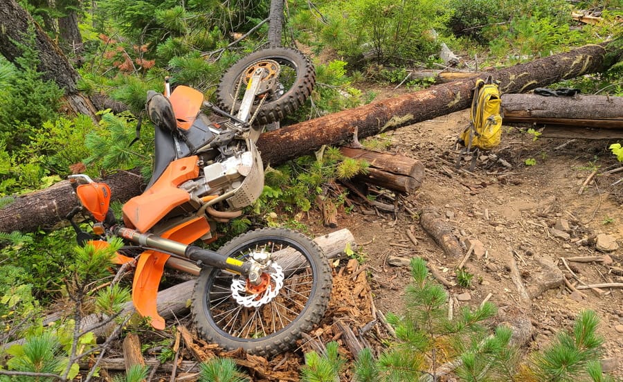
Launching bike over a log worked well for me, but landing was too ugly for the bike, so I stopped using this technique.

How did the bike end up there? With a lot of sweat, tears and cursing.
So I pushed on and on. It took me 8 hours to go 2 miles (and cross 33 logs). At 5 PM, the battery died (too many starts and too few miles ridden) and I was officially stuck in the middle of nowhere. Bike was dead, I was exhausted and little worried about how I am gonna get out. I had to pause to consider my options.
It was another 5 miles to the end of the trail and a connecting dirt road, but then another 20+ miles around the mountain. Even though it was Saturday, I didn't see or hear any other riders on this trail. Could I get a ride from someone to get back to the car? What if I had to walk the remaining 20+ miles back, that would take more than an extra day of walking in MX boots.
Another option was to hike 10 miles back the way I rode in, but it called for a 2500 ft ascent. I chose the second option. Hiking up the steep 2500 ft pass in MX boots was not only hard but rather painful too. The descent in the dark was no fun either. When I finally got back to the car after 10 PM, my feet were covered in blisters and wounds and three of my toenails were purple.
The following day, Sunday, I did not even want to think about retrieving the bike. I needed at least a day of recovery as I could barely walk. I didn't care if someone rode along the trail, saw the bike and stole it (in a way, I secretly wished for it, so that I don't have to deal with getting the bike out). As it turns out, despite many riders riding that weekend, nobody passed by my abandoned motorcycle. I guess people knew that the trail I chose for being "easy" was a no-go.
On Monday, armed with a new battery, traction board and plenty of water and food, my friend and I hiked in 5 miles from the other end of the trail and managed to get the bike out. As it turns out, I had "only" 13 logs left to get out. Had my batter not ran out of juice, I could have probably avoided the awful hike in MX boots. But this mis-adventure makes for a better story.
While this turned out to be a valuable lesson in how to deal with crossing logs, the most important lesson I learned is "when I see a log across my trail, I must IMMEDIATELY turn back.

On the way out, there were many creek crossings, but only 13 logs.
This area has been recommended me enthusiastically by other riders. Riding is good when possible. But Wenatchee National Forest does not maintain even trailhead maps. In Mad River riding area, every trailhead has a map of trails. Mad River trail is clearly marked on all maps yet it hasn't been ridden in years. Washed out bridges, overgrown trails, sections swept down in landslides. It was a nightmare walking that "trail". Romaniacs champion wouldn't have been able to ride it. Nobody has even walked that trail in years, yet it's clearly marked as motorcycle trail. Just how much effort is it for the rangers to cross that trail off and mark it as non-existent?
A year earlier, I got stuck on a trail littered with fallen logs. One would think I'd learn from that experience and stay away from Wenatchee. No, I had to go there again and get stuck again. Except, this time, I had to walk 19 miles, bushwhack one mile of jungle-like terrain. I made it back to the car at 2 am thanks to abundance of creeks from which I fetched water to drink.
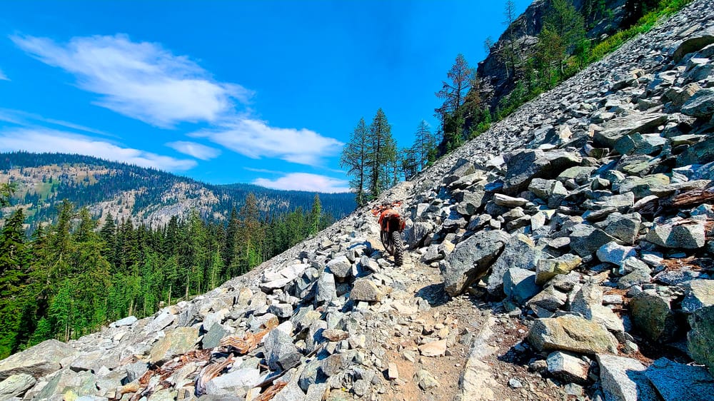
Riding is great on trails that are in normal conditions.
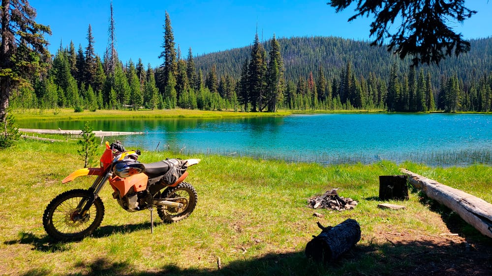
Trails pass by many beautiful lakes.
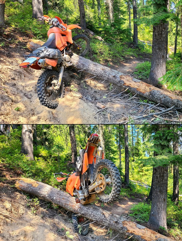
Log crossing - still a mystery to me.
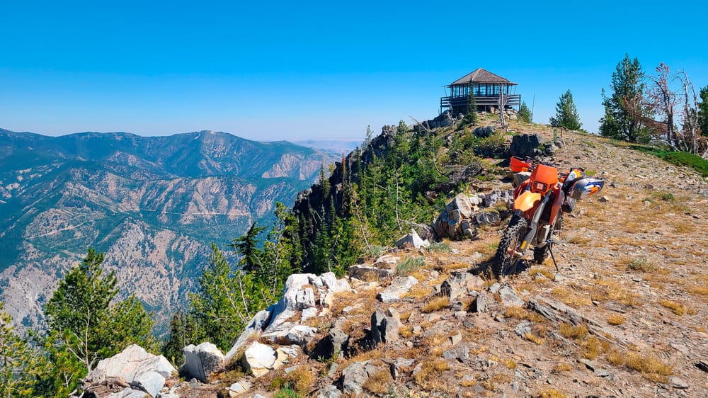
Atop a ridge, after a long day of riding, ready to go back to the camp. But I was counting on Mad River Trail to get me back, which did not exist. It took me 9 hours to walk back after my battery died.
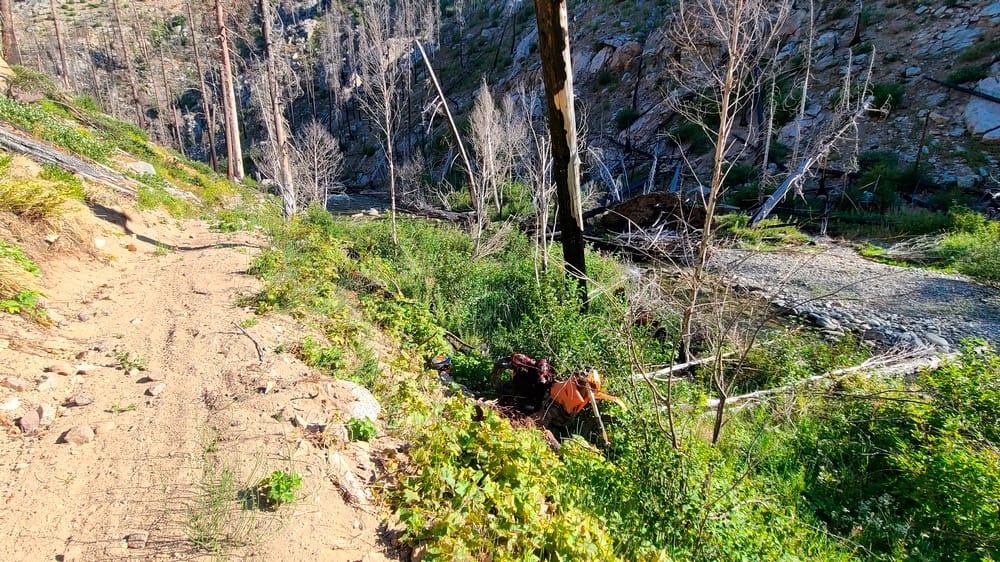
This is the spot where my battery died (well, bike fell down the slope while I was trying to kick start it).
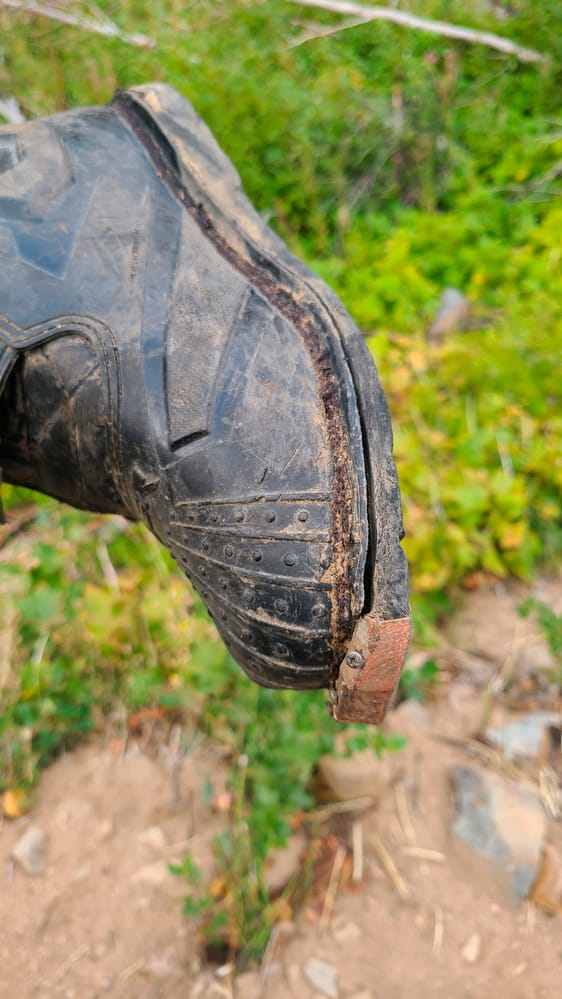
After the 19 mile hike back, my boots were falling apart.
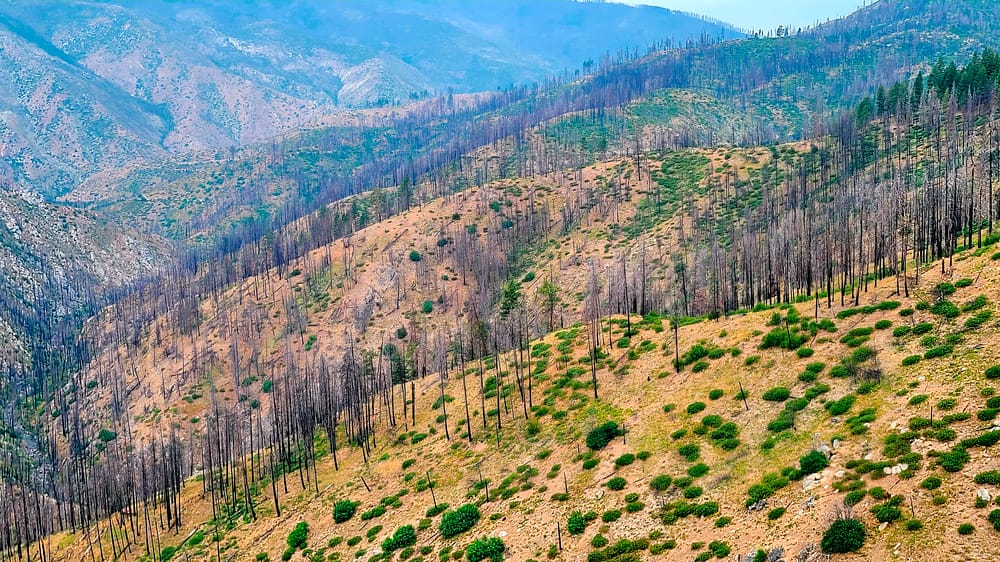
Two days later, I drove van 80 miles around to get within half a mile of the place where I left bike behind. The bike recovery was easy with a new, fully charged battery.
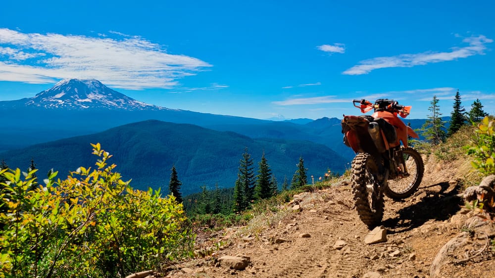
Mt Adams dominates the view in this area.
After I recovered the bike and regained courage to ride again, I ended up riding some of the nicest temperate rainforest trails - Gifford Pinchot NF.
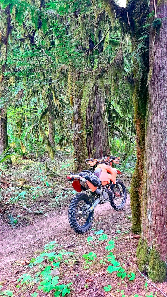
Riding through moss-covered forest.
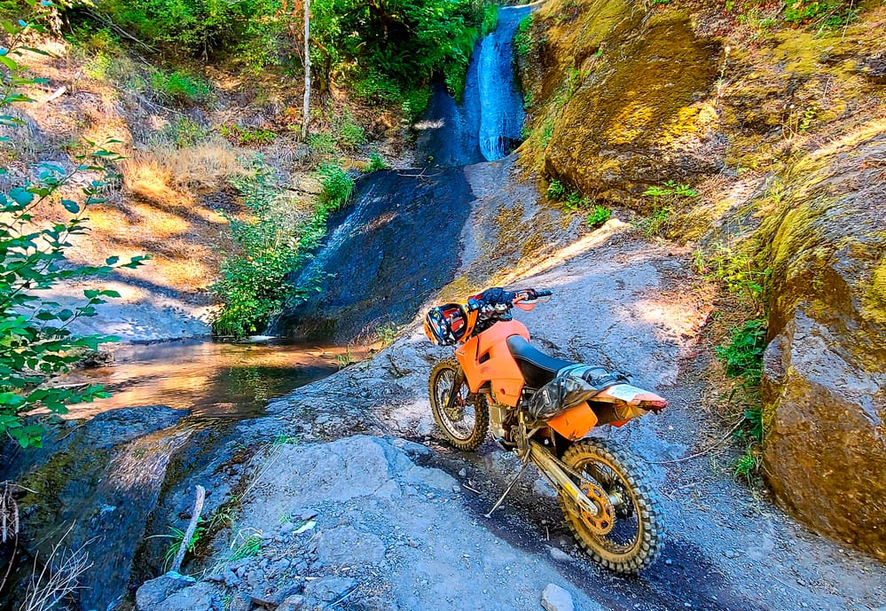
One of many beautiful falls that trails cross.
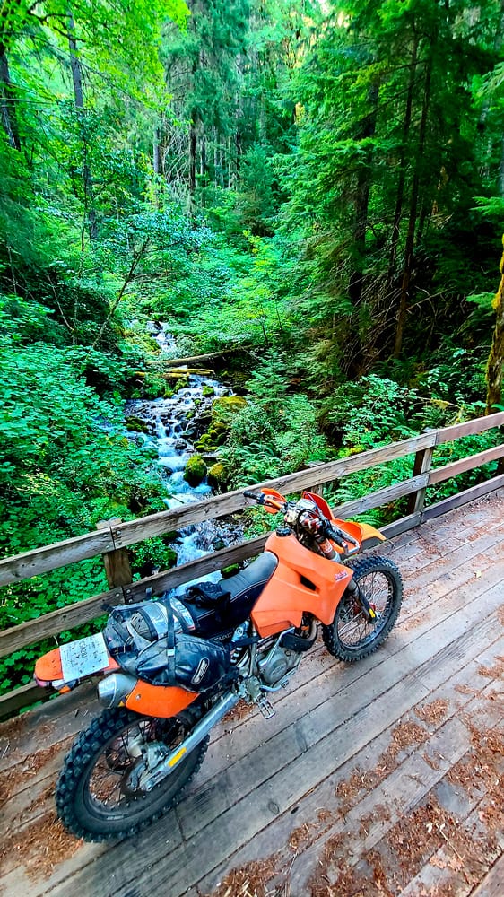
Everything is so green.
My other adventure rides: