

White Rim Trail with the Island in the Sky behind.
I believe that every country, every continent has something special and unique to offer to a visitor. In the North America that would, without a doubt, be public lands - from national parks to national forests and BLM land. While whole of North America is littered with natural beauty, from tropical beaches of Florida to the glacier covered peaks of Alaska, from lush NE to deserts of the southwest. However, Colorado Plateau is in a category of its own. I've been visiting the area for almost 30 years and I still get excited every time I go there.
Enduro rides and my other adventure motorcycle rides and the four most memorable ones are on separate pages.
Moab is the Mecca for off-road activities - jeeping, mountain biking and dirt motorcycle riding. People come here from all over the world to test their off-road skills. I spend at least a week every year riding trails around Moab - White Rim Trail, La Sal Loop, Top of the World, Lockheart Basin, Kane Creek, Slickrock, just to name a few.
The White Rim trail goes around the Island in the Sky section of the Canyonlands National Park for more than 100 miles. Most vehicles take several days to complete the loop. Motorcycles can do it in a day easily. Day users used not to need a permit. But the ever-more imposing bureaucracy introduced permits even for day users. Luckily, there are tons of other beautiful trails waiting to be ridden freely.

With friends on the White Rim Trail.

White Rim Trail below the Island in the Sky.

The edge of the White Rim Trail is white, hence the name.
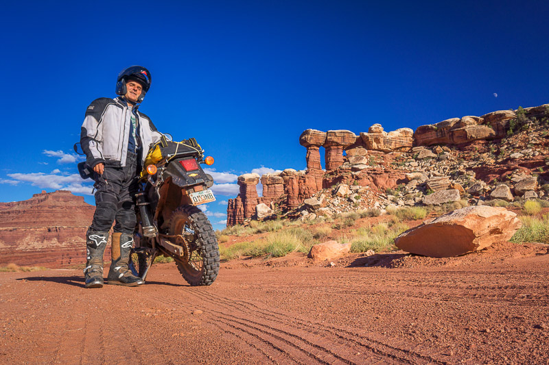
Bizarre rock formations along the White Rim Trail.

Slick rock along Shafer trail.
Another, not-to-be-missed ride is Chicken Corners. It is understandably super popular because of the lack of technical challenges and hard to beat scenery. Chicken Corners trail dead ends at a dramatic viewpoint. But a side trail continues into the Lockheart basin and eventually connects with the Needles road.
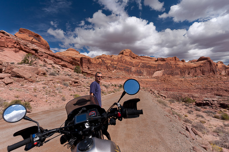
Vertical walls line canyons.
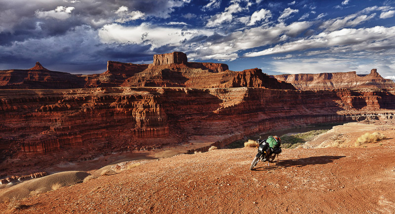
Dramatic view of the Colorado river at the end of the Chicken Corners Trail.
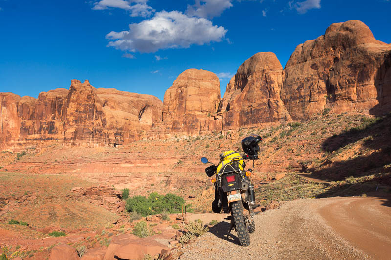
On the way to Hurrah pass.

High above Colorado river.

Behind the Rocks area is bordered by the Kane creek on one side.
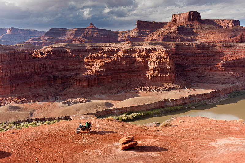
Heaven for solitude seekers.
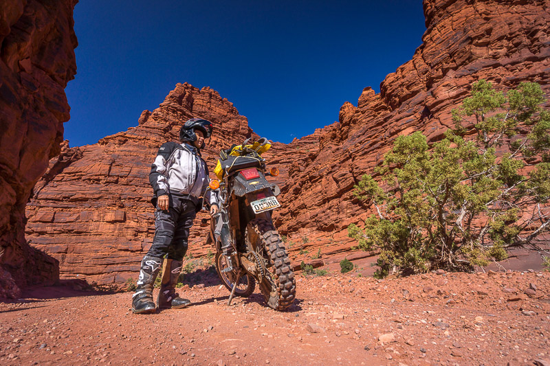
The easy but very scenic Onion Creek Canyon.

Slick rock.
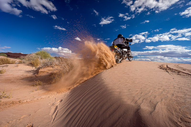
White wash sand dunes between Moab and Green River.
There are quite a few jeep trails NW of Moab - Seven Mile Rim trail, Bartlet Wash and 3D, Gemini Bridges, Poison Spider, etc. Dispersed camping is still allowed here, but probably not for much longer. Enjoy it while you still can.
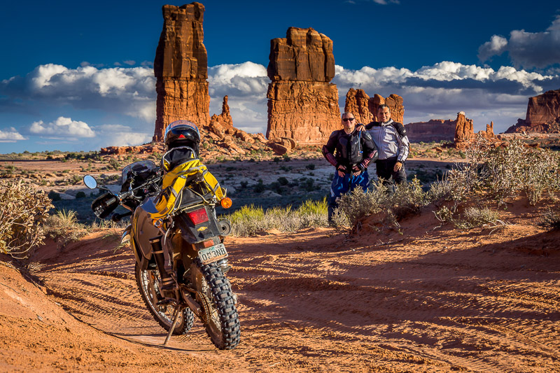
Seven Mile Rim trail.

Monitor and Merrimac rock formations.
La Sal mountain looms high above Moab to the SE. La Sal loop road goes through the spectacular Castle Valley and connects with a road going to Gateway - a scenic road to take if going traveling between Moab and Colorado. A challenging 4x4 track leads up to the Top of the World, one of the most dramatic places to take a photo of your bike at the edge of a vertical cliff.
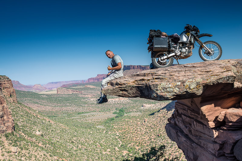
La Sal loop with the Top of the World in the distance behind.

Top of the World.

Jeep trails are what Moab is famous for among off-roaders.
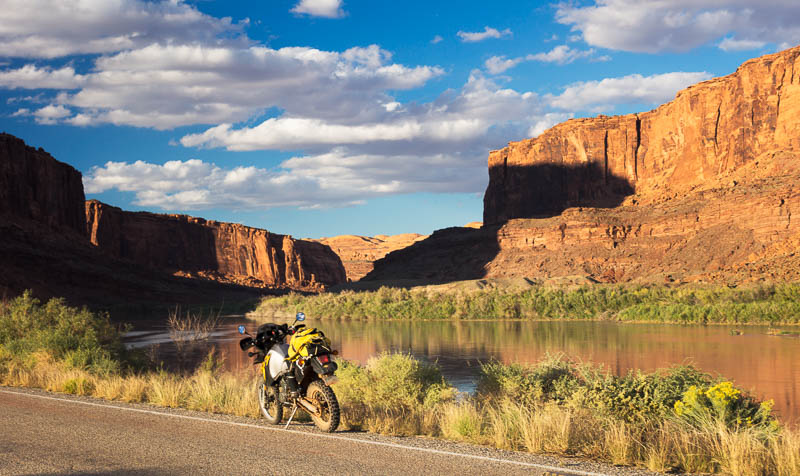
A canyong carved by the Colorado river outside Moab.

Rocks straigh out of the Roadrunner cartoon.

Wedge overlook of the San Rafael river cutting through the swell.
Not far from Moab is Green River. It is a convenient base for exploring San Rafael Swell. Black Dragon Canyon is only few miles away from the town. It's a grand gateway to amazing rides of the San Rafael Swell.
This area has rocky trails, sandy washes, narrow single tracks and mud on offer. Unlike Moab area, there are relatively few visitors. We had most of the trails to ourselves even on weekends.

Getting ready to explore San Rafael Swell.

Traces of mining activities are still present.
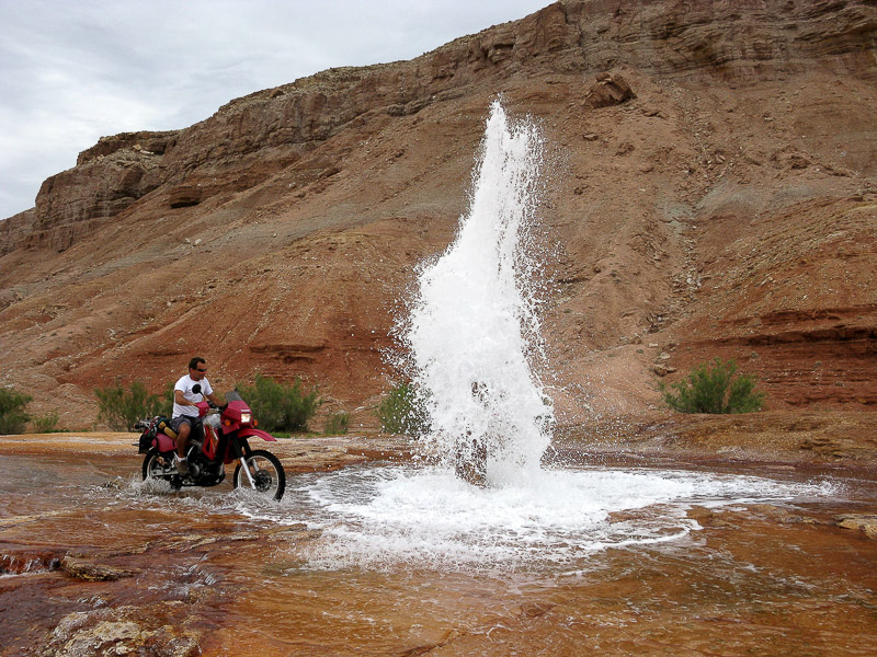
Rideable active geyser just outside Green River.

Even though it's a desert, there are some creek crossings.
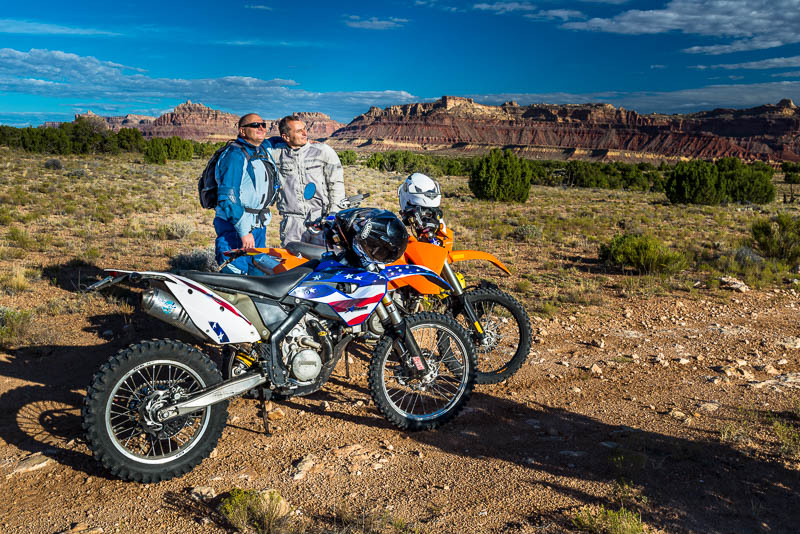
Late afternoon in San Rafael swell.
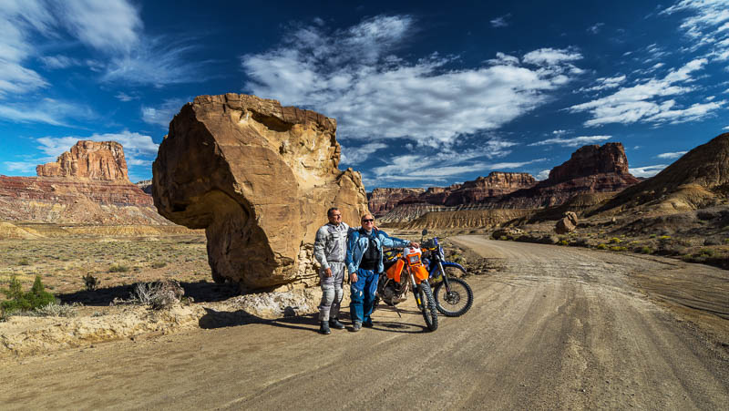
On the way to the river.
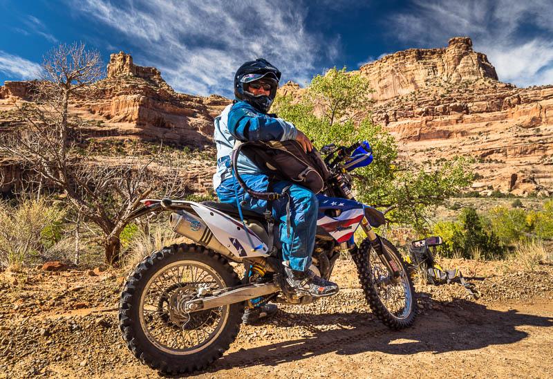
Inside the canyon.

Towering cliffs above the river.

Campground by San Rafael river.
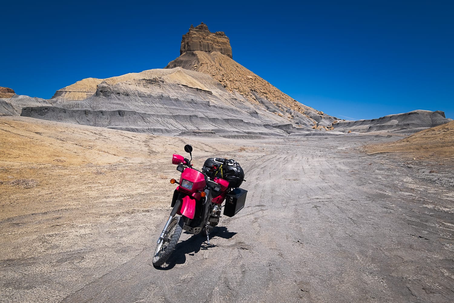
The really fun riding starts after Page - Grand Staircase Escalante.

Mesa Romana - my favorite camping spot, unfortunately, overrun with people lately.

The road to Mesa Romana is spectacular in itself.
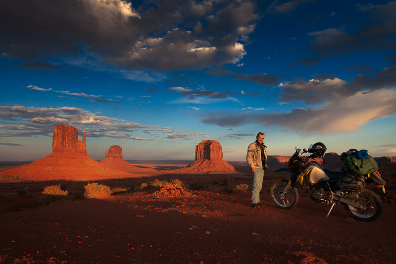
Quintessential American West.
Lake Powell is an artificial lake made by flooding of the Glen Canyon, named so by the great explorer John Wesley Powell himself. I did not see many photos of the canyon before flooding, but it was supposedly incredibly beautiful
The water might have covered amazing canyons, but is also adds another dimension to the area. It's really a boater's paradise with numerous beaches and small canyons reachable by boat only. There area few spots where a rough road reaches the lake shore. Rarely, if ever, I saw another soul on these roads.
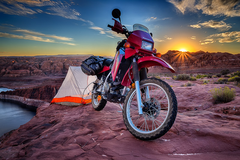
Sunrise on a cliff above San Juan river.

Valley of the Gods near Monument Valley.
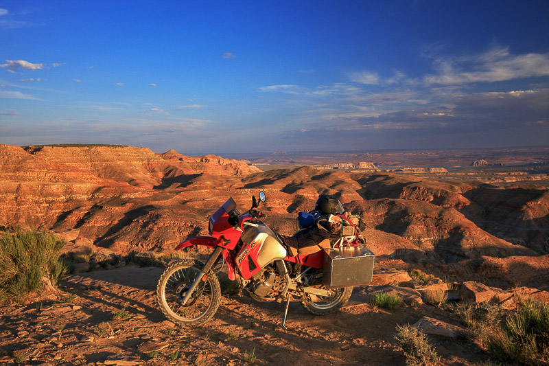
On a plateau high above the lake Powell - Smoky mountain road.

Dirt road running along the Comb ridge.

Camping high above San Juan river.

Bizarre scenery near the Lake Powell.

The classic view of the Mittens, Monument Valley.
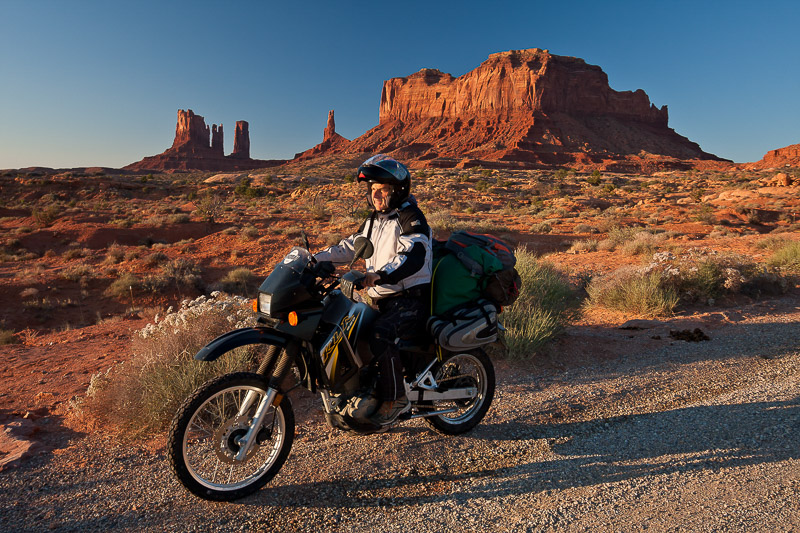
Early morning ride outside the Monument Valley.

Valley of the Gods.

Cottonwood canyon road.
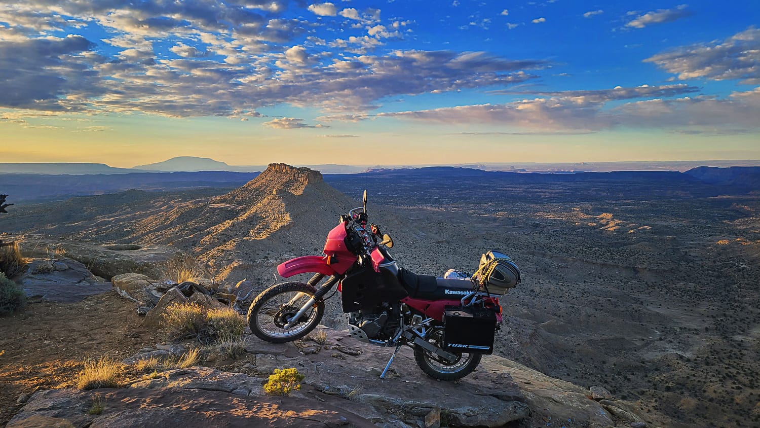
Edge of a mesa high above the Smoky Mountain road - nobody's been here for months.
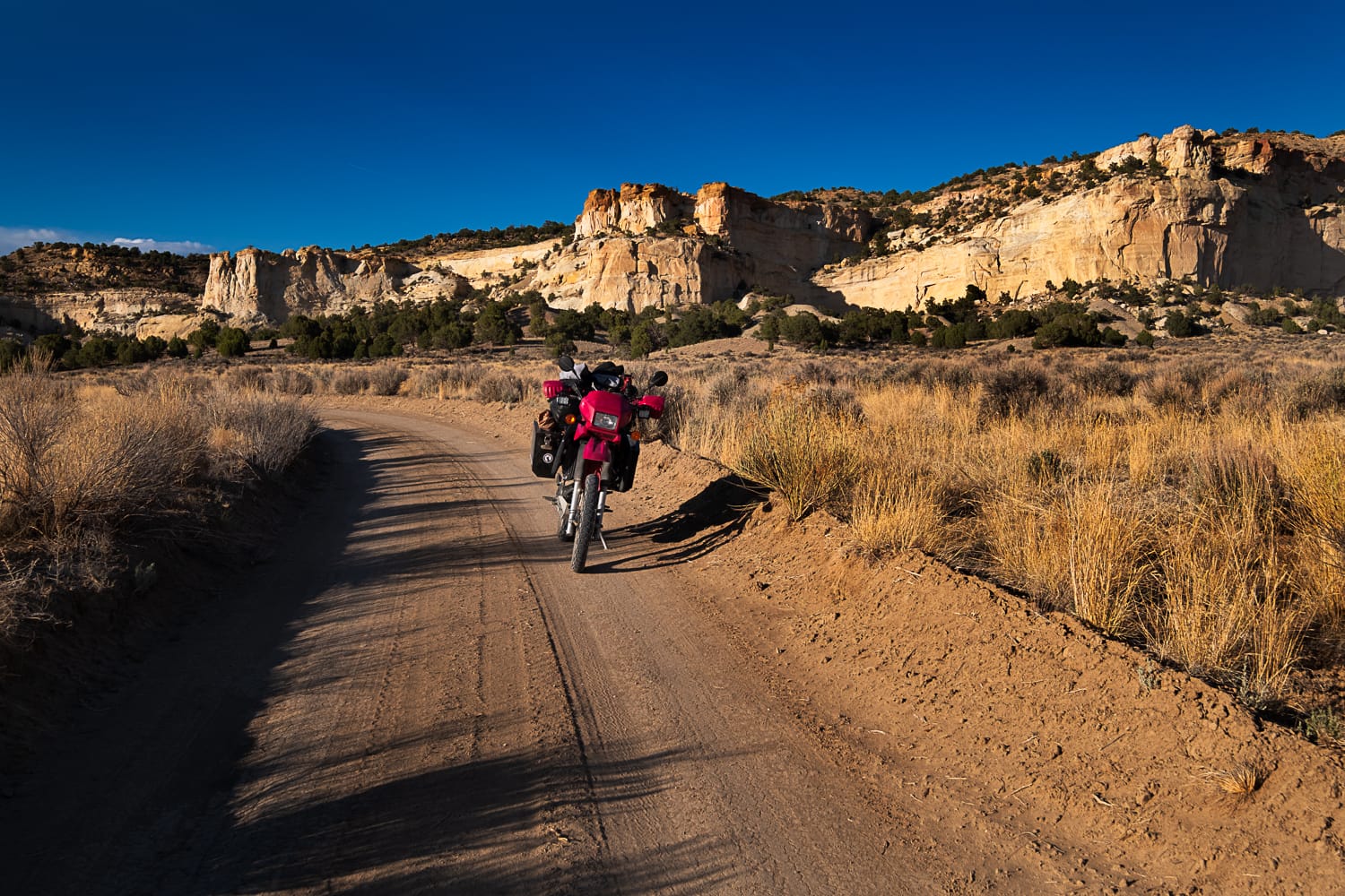
Exploring dirt roads of the Grand Staircase Escalante.

Clearing storm above Lake Powell.

Sunrise at Toroweap point.

Not a soul for miles and miles around - between Capitol Reef NP and Lake Powell.

Follow dry creek washes for miles Grand Staircase Escalante.
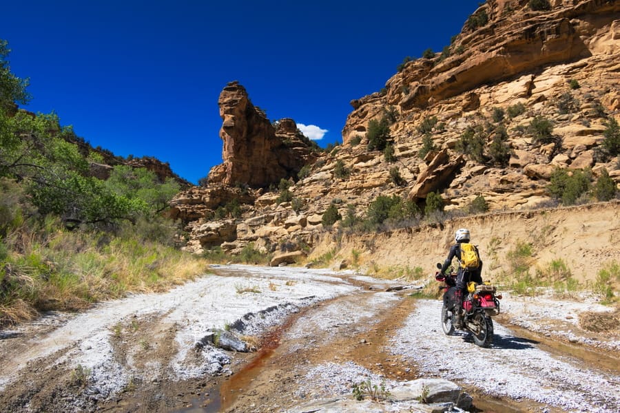
One of unofficial wash roads in Grand Staircase Escalante.
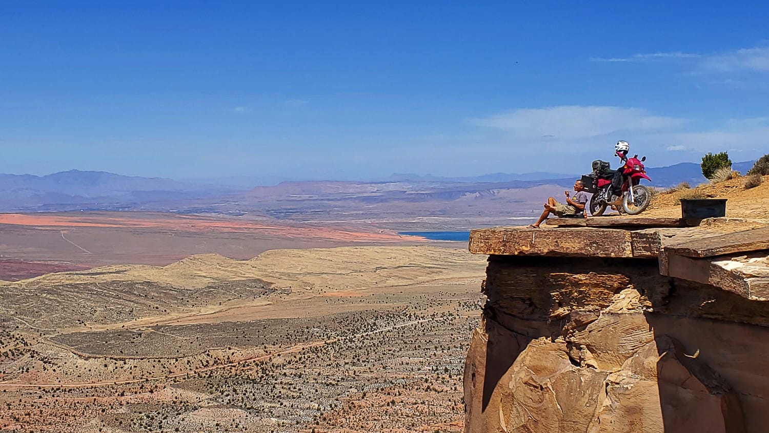
Just happy to be there.

Dollhouse area of the Canyonlands NP is rather hard to reach.

A spire on the way to the Dollhouse.

Blue sky, fluffy clouds, red towers and nobody around - this is what the Lake Powell is all about.
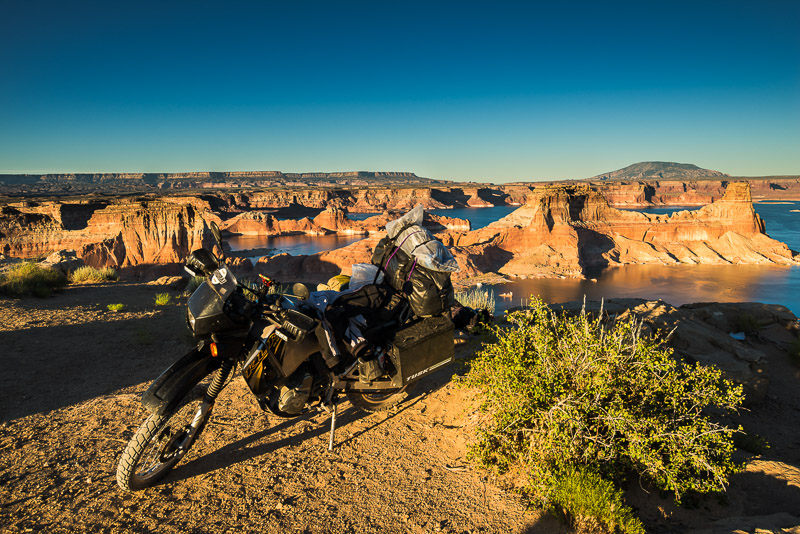
Lake afternoon on a mesa by Lake Powell.

Riding through Grand Staircase Escalante towards Lake Powell.

One of the approach roads to the Lake Powell.
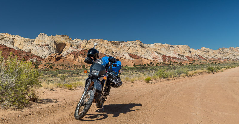
Capitol Reef NP.
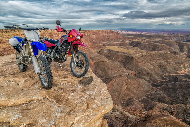
Muley point.

Moki dugway is a cafe-racer's adventure ride.
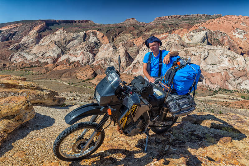
Capitol Reef NP.
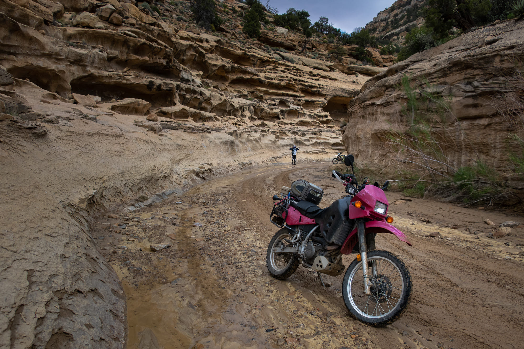
A wash just south of town of Escalante and it climbs up to the plateau.
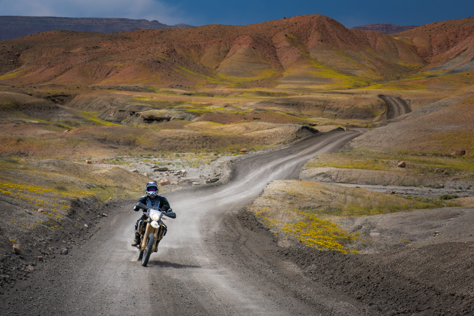
Beginning climb up Smoky Mountain Road.
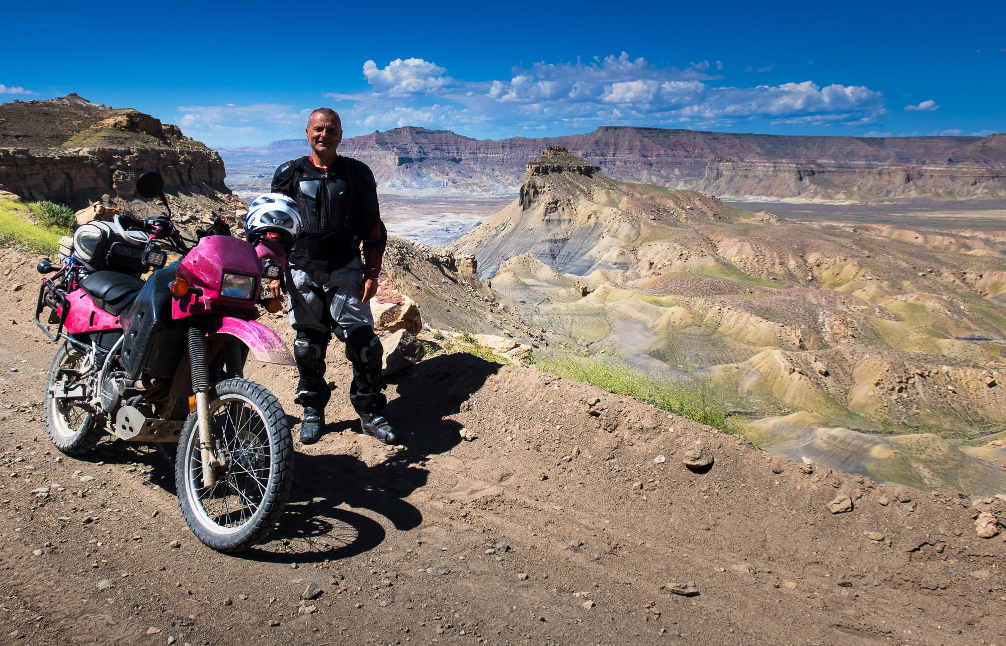
Higher up Smoky Mountain Road.

Bizarre rock in a wash outside Big Water, Utah.
A short video of riding in GS Escalante NP.

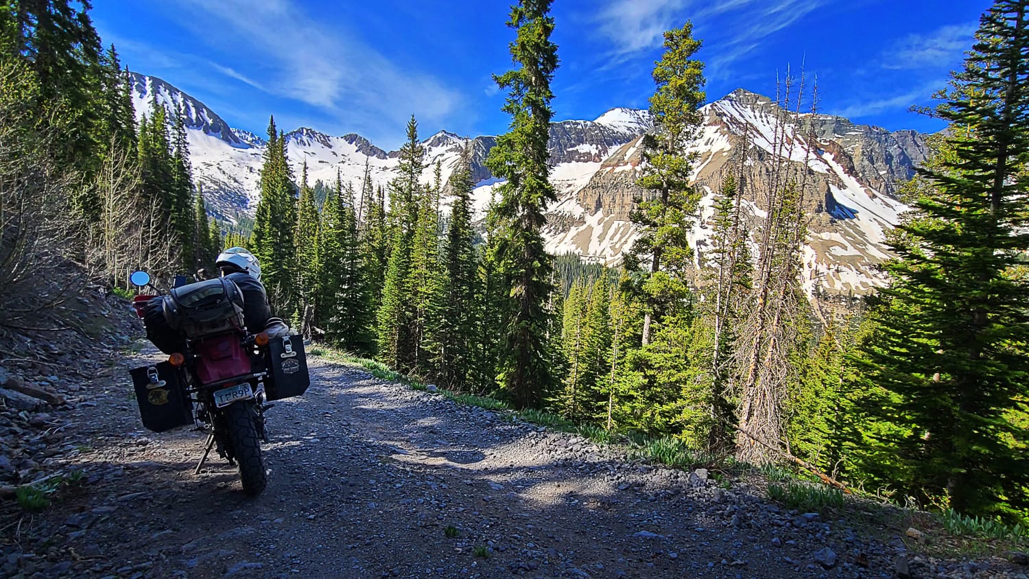
Beautiful alpine scenery near Telluride.
San Juan mountains are home to some of the best alpine jeep trails in the USA. This area has rich mining history and rough roads going up to dizzying heights (over 13,000 feet) are just one of many reasons to ride here.
The most famous ride is the Alpine loop, but there are many other passes to be enjoyed. Silverton and Ouray are both charming wetern towns providing a glimpse into how people lived a hundred years ago.

There is still snow in San Juan mountains even in July.

Just opened section of a road in San Juan mountains.

Alpine loop in early summer.
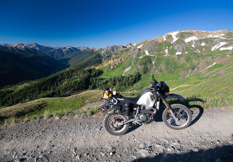
Riding up towards Bear pass in early summer.

High alpine lakes between Ophir and Telluride.
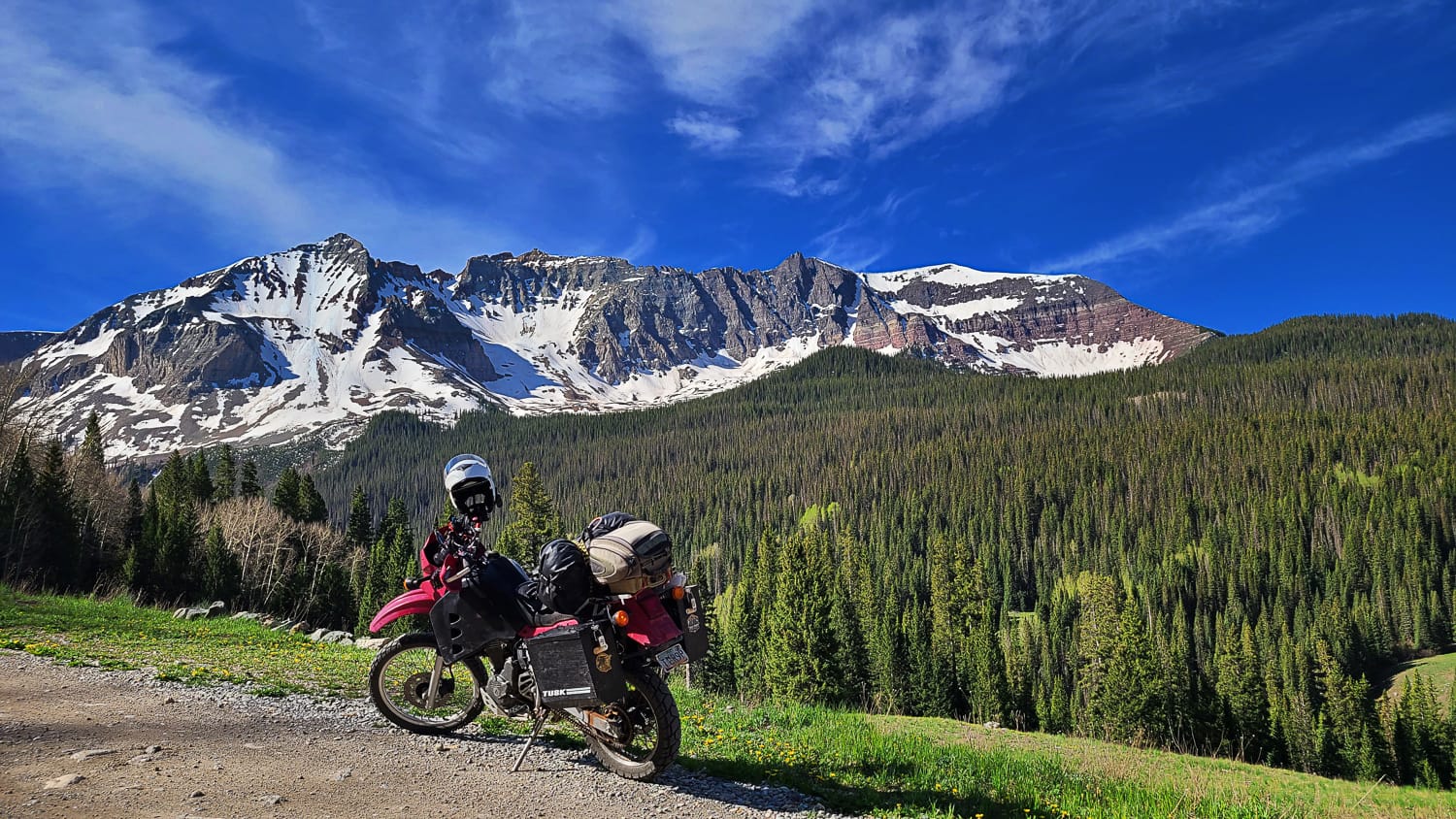
Spring in San Juan mountains.
A dead end road near the Trout lake.
My other adventure rides: